Distance to Red Park, Michigan

Calculating Your Route
Just a moment while we process your request...
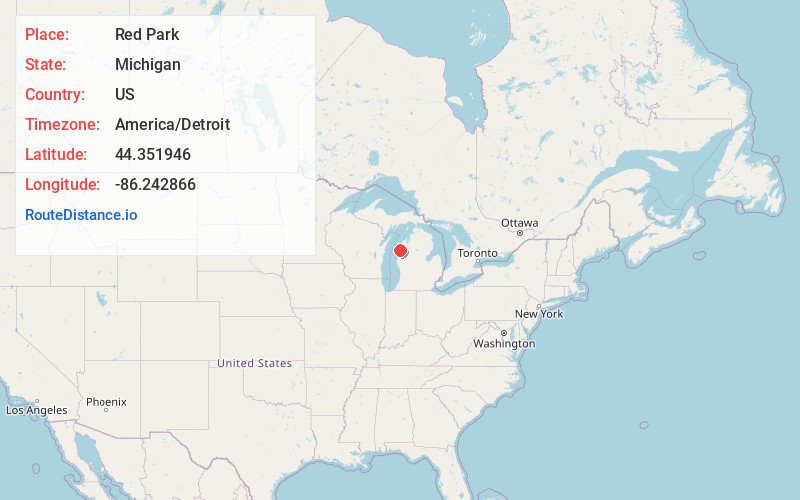
Location Information
-
Full AddressRed Park, Onekama Township, MI 49660
-
Coordinates44.3519461, -86.2428659
-
LocationOnekama Township , Michigan , US
-
TimezoneAmerica/Detroit
-
Current Local Time5:09:07 AM America/DetroitTuesday, July 1, 2025
-
Page Views0
About Red Park
Red Park is an unincorporated summer resort area of Onekama Township, Manistee County in the U.S. state of Michigan. It is located on the south shore of Portage Lake at 44°21′07″N 86°14′34″W, between Wick-A-Te-Wah on the West and next to Camp Tosebo.
Nearby Places
Found 10 places within 50 miles

Onekama
2.0 mi
3.2 km
Onekama, MI 49675
Get directions

Norwalk
4.0 mi
6.4 km
Norwalk, Brown Township, MI 49660
Get directions
Bar Lake
4.9 mi
7.9 km
Bar Lake, Manistee Township, MI 49660
Get directions

Bear Lake
6.7 mi
10.8 km
Bear Lake, MI 49614
Get directions

Chief Lake
6.9 mi
11.1 km
Chief Lake, Bear Lake Township, MI 49645
Get directions
Eastlake
7.8 mi
12.6 km
Eastlake, MI
Get directions

Manistee
8.4 mi
13.5 km
Manistee, MI 49660
Get directions
Filer City
9.6 mi
15.4 km
Filer City, MI
Get directions

Kaleva
11.6 mi
18.7 km
Kaleva, MI 49645
Get directions
Free Soil
17.0 mi
27.4 km
Free Soil, MI 49411
Get directions
Location Links
Local Weather
Weather Information
Coming soon!
Location Map
Static map view of Red Park, Michigan
Browse Places by Distance
Places within specific distances from Red Park
Short Distances
Long Distances
Click any distance to see all places within that range from Red Park. Distances shown in miles (1 mile ≈ 1.61 kilometers).