Distance to Red Top, South Carolina

Calculating Your Route
Just a moment while we process your request...
Location Information
-
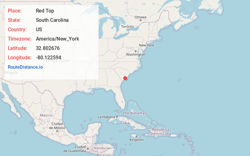
Full AddressRed Top, Charleston, SC 29455
-
Coordinates32.802676, -80.1225943
-
LocationCharleston , South Carolina , US
-
TimezoneAmerica/New_York
-
Current Local Time9:03:20 PM America/New_YorkTuesday, May 20, 2025
-
Page Views0
Nearby Places
Found 10 places within 50 miles

Humbert Woods
4.1 mi
6.6 km
Humbert Woods, Johns Island, SC 29455
Get directions
Wando Woods
6.0 mi
9.7 km
Wando Woods, North Charleston, SC 29405
Get directions
Goshen
6.3 mi
10.1 km
Goshen, SC 29449
Get directions
Bennett
7.0 mi
11.3 km
Bennett, North Charleston, SC 29418
Get directions
Brentwood
7.5 mi
12.1 km
Brentwood, North Charleston, SC 29405
Get directions

Ravenel
7.6 mi
12.2 km
Ravenel, SC
Get directions

North Charleston
8.2 mi
13.2 km
North Charleston, SC
Get directions
Miller Hill
8.3 mi
13.4 km
Miller Hill, Johns Island, SC 29455
Get directions
Waylyn
8.3 mi
13.4 km
Waylyn, North Charleston, SC 29405
Get directions

Hollywood
8.3 mi
13.4 km
Hollywood, SC
Get directions
Location Links
Local Weather
Weather Information
Coming soon!
Location Map
Static map view of Red Top, South Carolina
Browse Places by Distance
Places within specific distances from Red Top
Short Distances
Long Distances
Click any distance to see all places within that range from Red Top. Distances shown in miles (1 mile ≈ 1.61 kilometers).