Distance to Red Wing, Minnesota

Calculating Your Route
Just a moment while we process your request...
Location Information
-
Full AddressRed Wing, MN
-
Coordinates44.5660691, -92.5369563
-
LocationRed Wing , Minnesota , US
-
TimezoneAmerica/Chicago
-
Current Local Time10:17:32 PM America/ChicagoThursday, June 19, 2025
-
Website
-
Page Views0
About Red Wing
Red Wing is a city on the Mississippi River in Minnesota. Trails lead up the landmark Barn Bluff, which offers river and city views from its summit. The Pottery Museum of Red Wing traces the history of the local clay industry. The Cannon Valley Trail links Red Wing to the nearby city of Cannon Falls. It travels west through the Welch Village ski resort. To the east, Frontenac State Park is a popular for birdwatching.


Nearby Places
Found 10 places within 50 miles

Hastings
19.8 mi
31.9 km
Hastings, MN 55033
Get directions

Cottage Grove
26.9 mi
43.3 km
Cottage Grove, MN
Get directions

Farmington
30.3 mi
48.8 km
Farmington, MN
Get directions

Rosemount
31.3 mi
50.4 km
Rosemount, MN 55068
Get directions

Northfield
31.7 mi
51.0 km
Northfield, MN 55057
Get directions

South St Paul
32.2 mi
51.8 km
South St Paul, MN
Get directions

Woodbury
32.3 mi
52.0 km
Woodbury, MN
Get directions

Oakdale
34.5 mi
55.5 km
Oakdale, MN 55128
Get directions

Maplewood
34.9 mi
56.2 km
Maplewood, MN
Get directions

Eagan
35.0 mi
56.3 km
Eagan, MN
Get directions
Location Links
Local Weather
Weather Information
Coming soon!
Location Map
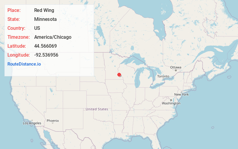
Static map view of Red Wing, Minnesota
Browse Places by Distance
Places within specific distances from Red Wing
Short Distances
Long Distances
Click any distance to see all places within that range from Red Wing. Distances shown in miles (1 mile ≈ 1.61 kilometers).