Distance to Redbud, Georgia

Calculating Your Route
Just a moment while we process your request...
Location Information
-
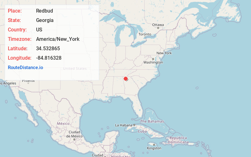
Full AddressRedbud, GA 30701
-
Coordinates34.5328647, -84.8163275
-
LocationRedbud , Georgia , US
-
TimezoneAmerica/New_York
-
Current Local Time6:30:17 PM America/New_YorkTuesday, June 24, 2025
-
Page Views1
About Redbud
Red Bud is an unincorporated community in Gordon County, Georgia, United States.
Nearby Places
Found 10 places within 50 miles

Cash
3.0 mi
4.8 km
Cash, GA 30139
Get directions

Crane Eater
3.2 mi
5.1 km
Crane Eater, GA 30701
Get directions
Soapstick
4.9 mi
7.9 km
Soapstick, GA 30701
Get directions
Fidelle
4.9 mi
7.9 km
Fidelle, GA 30735
Get directions
New Town
5.1 mi
8.2 km
New Town, GA 30701
Get directions
Nickelsville
5.6 mi
9.0 km
Nickelsville, GA 30735
Get directions
Angelville
5.7 mi
9.2 km
Angelville, GA 30735
Get directions
Sonoraville
5.9 mi
9.5 km
Sonoraville, GA 30701
Get directions
Farmville
6.0 mi
9.7 km
Farmville, GA 30701
Get directions

Ranger
6.5 mi
10.5 km
Ranger, GA
Get directions
Location Links
Local Weather
Weather Information
Coming soon!
Location Map
Static map view of Redbud, Georgia
Browse Places by Distance
Places within specific distances from Redbud
Short Distances
Long Distances
Click any distance to see all places within that range from Redbud. Distances shown in miles (1 mile ≈ 1.61 kilometers).