Distance to Redfern, Arkansas

Calculating Your Route
Just a moment while we process your request...
Location Information
-
Full AddressRedfern, AR 72335
-
Coordinates34.9934256, -90.8353913
-
LocationArkansas , US
-
TimezoneAmerica/Chicago
-
Current Local Time5:54:07 PM America/ChicagoWednesday, June 25, 2025
-
Page Views0
Nearby Places
Found 10 places within 50 miles

Forrest City
3.0 mi
4.8 km
Forrest City, AR
Get directions

Palestine
4.0 mi
6.4 km
Palestine, AR 72372
Get directions
Slonikers Mill
4.7 mi
7.6 km
Slonikers Mill, AR 72372
Get directions
Caldwell
5.4 mi
8.7 km
Caldwell, AR
Get directions

L 'Anguille River
6.5 mi
10.5 km
L 'Anguille River, Arkansas
Get directions

Madison
6.5 mi
10.5 km
Madison, AR
Get directions
Hawkins
6.7 mi
10.8 km
Hawkins, AR 72372
Get directions
Meadow Cliff
7.2 mi
11.6 km
Meadow Cliff, AR 72335
Get directions
Haynes
7.5 mi
12.1 km
Haynes, AR 72360
Get directions
Shiloh
8.6 mi
13.8 km
Shiloh, AR 72326
Get directions
Location Links
Local Weather
Weather Information
Coming soon!
Location Map
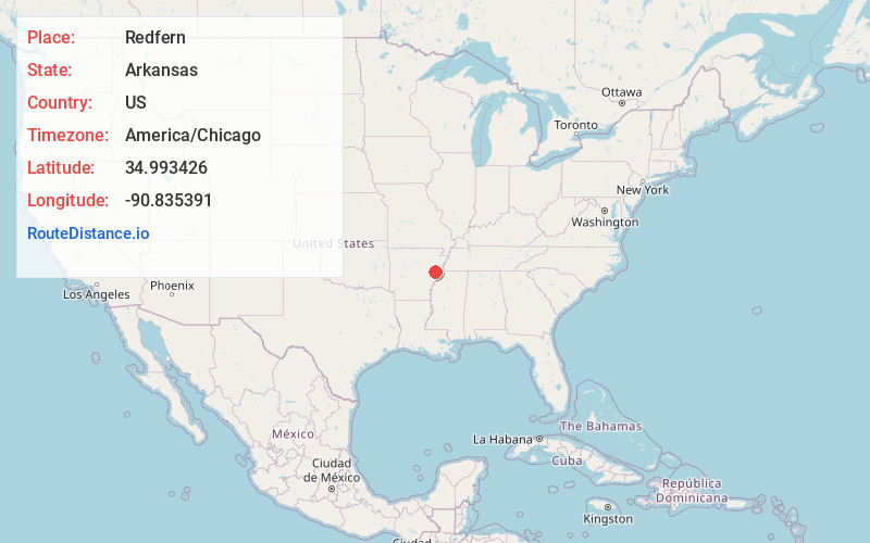
Static map view of Redfern, Arkansas
Browse Places by Distance
Places within specific distances from Redfern
Short Distances
Long Distances
Click any distance to see all places within that range from Redfern. Distances shown in miles (1 mile ≈ 1.61 kilometers).