Distance to Redland, Oregon

Calculating Your Route
Just a moment while we process your request...
Location Information
-
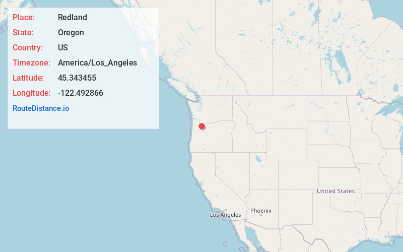
Full AddressRedland, OR 97045
-
Coordinates45.3434553, -122.4928664
-
LocationRedland , Oregon , US
-
TimezoneAmerica/Los_Angeles
-
Current Local Time9:10:01 PM America/Los_AngelesSunday, June 1, 2025
-
Page Views0
About Redland
Redland is an unincorporated community located in Clackamas County, Oregon, United States. It is located six miles east of Oregon City and four miles south of Carver.
The community was named for the color of the soil there.
Redland post office was established in 1892 and closed in 1903.


Nearby Places
Found 10 places within 50 miles

Echo Dell
1.9 mi
3.1 km
Echo Dell, OR 97045
Get directions
Cedarhurst Park
3.4 mi
5.5 km
Cedarhurst Park, OR 97023
Get directions
Logan
3.4 mi
5.5 km
Logan, OR 97023
Get directions
Richardson Creek
4.3 mi
6.9 km
Richardson Creek, Damascus, OR 97089
Get directions

Beavercreek
4.4 mi
7.1 km
Beavercreek, OR
Get directions
Viola
5.1 mi
8.2 km
Viola, OR 97023
Get directions
Barton
5.3 mi
8.5 km
Barton, OR 97009
Get directions

Damascus
5.4 mi
8.7 km
Damascus, OR
Get directions

Oregon City
5.6 mi
9.0 km
Oregon City, OR 97045
Get directions

Gladstone
5.6 mi
9.0 km
Gladstone, OR
Get directions
Location Links
Local Weather
Weather Information
Coming soon!
Location Map
Static map view of Redland, Oregon
Browse Places by Distance
Places within specific distances from Redland
Short Distances
Long Distances
Click any distance to see all places within that range from Redland. Distances shown in miles (1 mile ≈ 1.61 kilometers).