Distance to Redpath Township, Minnesota

Calculating Your Route
Just a moment while we process your request...
Location Information
-
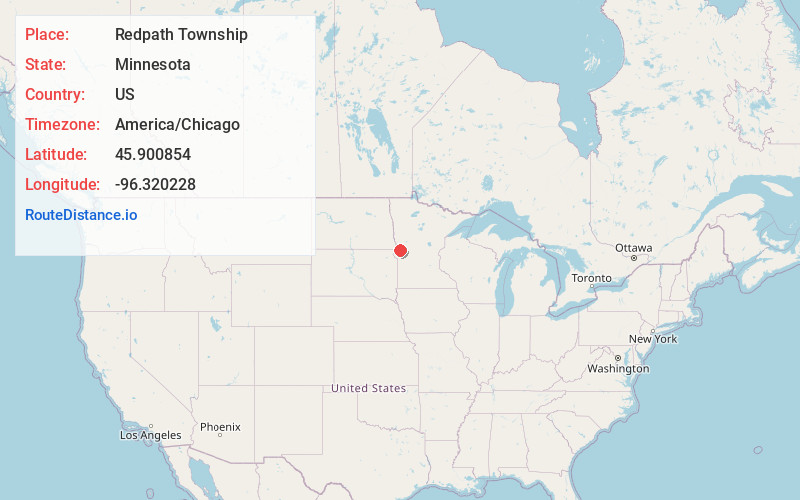
Full AddressRedpath Township, MN
-
Coordinates45.9008544, -96.3202282
-
LocationRedpath Township , Minnesota , US
-
TimezoneAmerica/Chicago
-
Current Local Time3:13:01 PM America/ChicagoSunday, June 22, 2025
-
Page Views0
About Redpath Township
Redpath Township is a township in Traverse County, Minnesota, United States. The population was 35 at the 2000 census.
Redpath Township was organized in 1881, and named for an old Indian trail within its borders.
Nearby Places
Found 10 places within 50 miles

Charlesville
4.2 mi
6.8 km
Charlesville, MN 56274
Get directions

Norcross
6.3 mi
10.1 km
Norcross, MN 56274
Get directions

Tintah
7.4 mi
11.9 km
Tintah, MN 56565
Get directions

Lake Valley Township
8.0 mi
12.9 km
Lake Valley Township, MN 56296
Get directions

Clifton Township
8.0 mi
12.9 km
Clifton Township, MN
Get directions
Nashua
9.5 mi
15.3 km
Nashua, MN 56565
Get directions

Herman
10.6 mi
17.1 km
Herman, MN 56248
Get directions

Wheaton
10.9 mi
17.5 km
Wheaton, MN 56296
Get directions
Boisberg
11.7 mi
18.8 km
Boisberg, MN 56296
Get directions
Tenney
11.8 mi
19.0 km
Tenney, MN 56583
Get directions
Location Links
Local Weather
Weather Information
Coming soon!
Location Map
Static map view of Redpath Township, Minnesota
Browse Places by Distance
Places within specific distances from Redpath Township
Short Distances
Long Distances
Click any distance to see all places within that range from Redpath Township. Distances shown in miles (1 mile ≈ 1.61 kilometers).