Distance to Redstar, West Virginia

Calculating Your Route
Just a moment while we process your request...
Location Information
-
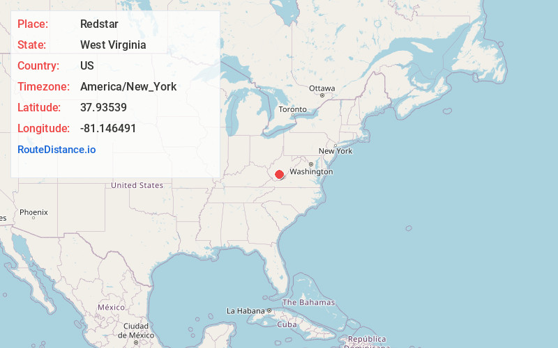
Full AddressRedstar, WV 25901
-
Coordinates37.9353901, -81.1464906
-
LocationRedstar , West Virginia , US
-
TimezoneAmerica/New_York
-
Current Local Time3:27:04 AM America/New_YorkSunday, June 29, 2025
-
Page Views0
About Redstar
Redstar is an unincorporated community in Fayette County, West Virginia, United States. Redstar is 2.5 miles south of Oak Hill. Redstar had a post office with ZIP code 25914, which closed on January 20, 2007.
The community has existed under the name Redstar since at least 1893.
Nearby Places
Found 10 places within 50 miles

Hilltop
0.6 mi
1.0 km
Hilltop, WV
Get directions

Glen Jean
0.6 mi
1.0 km
Glen Jean, WV
Get directions

Scarbro
1.6 mi
2.6 km
Scarbro, WV 25917
Get directions

Oak Hill
2.6 mi
4.2 km
Oak Hill, WV
Get directions

Mt Hope
2.9 mi
4.7 km
Mt Hope, WV
Get directions

Lee
3.7 mi
6.0 km
Lee, WV 25880
Get directions

Thurmond
3.9 mi
6.3 km
Thurmond, WV 25901
Get directions
Bradley
5.5 mi
8.9 km
Bradley, WV 25880
Get directions

Pax
6.7 mi
10.8 km
Pax, WV
Get directions

Piney View
6.9 mi
11.1 km
Piney View, WV 25801
Get directions
Location Links
Local Weather
Weather Information
Coming soon!
Location Map
Static map view of Redstar, West Virginia
Browse Places by Distance
Places within specific distances from Redstar
Short Distances
Long Distances
Click any distance to see all places within that range from Redstar. Distances shown in miles (1 mile ≈ 1.61 kilometers).