Distance to Redwing, Kansas

Calculating Your Route
Just a moment while we process your request...
Location Information
-
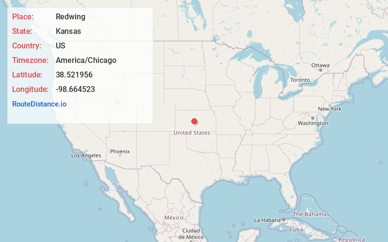
Full AddressRedwing, Cheyenne Township, KS 67525
-
Coordinates38.5219557, -98.6645233
-
LocationCheyenne Township , Kansas , US
-
TimezoneAmerica/Chicago
-
Current Local Time7:52:49 PM America/ChicagoWednesday, June 4, 2025
-
Page Views0
About Redwing
Redwing is an unincorporated community in Cheyenne Township, Barton County, Kansas, United States. It is located 1.5 miles northwest of the northern edge of the Cheyenne Bottoms Wildlife Area, 6.0 miles east of the city of Hoisington, and 7.0 miles west of the city of Claflin.
Nearby Places
Found 10 places within 50 miles

Barton County
1.5 mi
2.4 km
Barton County, KS
Get directions

Odin
4.3 mi
6.9 km
Odin, KS 67525
Get directions

Hoisington
6.1 mi
9.8 km
Hoisington, KS 67544
Get directions
Kanbrick
7.0 mi
11.3 km
Kanbrick, South Homestead Township, KS 67544
Get directions

Claflin
7.1 mi
11.4 km
Claflin, KS 67525
Get directions
Beaver
8.2 mi
13.2 km
Beaver, KS
Get directions
Farhman
9.8 mi
15.8 km
Farhman, Independent Township, KS 67525
Get directions
Boyd
9.9 mi
15.9 km
Boyd, Eureka Township, KS 67544
Get directions
Susank
10.1 mi
16.3 km
Susank, KS
Get directions
Stickney
12.0 mi
19.3 km
Stickney, Wheatland Township, KS 67544
Get directions
Location Links
Local Weather
Weather Information
Coming soon!
Location Map
Static map view of Redwing, Kansas
Browse Places by Distance
Places within specific distances from Redwing
Short Distances
Long Distances
Click any distance to see all places within that range from Redwing. Distances shown in miles (1 mile ≈ 1.61 kilometers).