Distance to Reelfoot Lake State Park, Tennessee

Calculating Your Route
Just a moment while we process your request...
Location Information
-
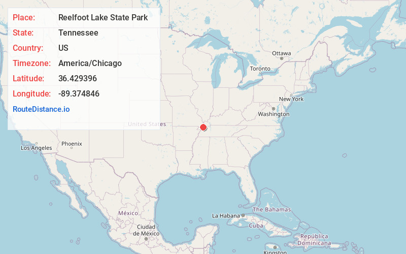
Full AddressReelfoot Lake State Park, 2595 TN-21 E, Tiptonville, TN 38079
-
Coordinates36.4293955, -89.3748459
-
Street2595 TN-21 E
-
LocationTiptonville , Tennessee , US
-
TimezoneAmerica/Chicago
-
Current Local Time10:47:46 AM America/ChicagoSaturday, May 31, 2025
-
Page Views0
About Reelfoot Lake State Park
Large lake park featuring cypress trees, aquatic plants & American bald eagles.


Nearby Places
Found 10 places within 50 miles

Grays Camp
2.1 mi
3.4 km
Grays Camp, TN 38079
Get directions
New Markham
2.3 mi
3.7 km
New Markham, TN 38079
Get directions
Wright
2.5 mi
4.0 km
Wright, TN 38079
Get directions

Samburg
3.5 mi
5.6 km
Samburg, TN
Get directions
Spout Springs
3.6 mi
5.8 km
Spout Springs, TN 38261
Get directions
Phillippy
3.7 mi
6.0 km
Phillippy, TN 38079
Get directions
Proctor City
4.0 mi
6.4 km
Proctor City, TN 38079
Get directions
Estes Pond
4.1 mi
6.6 km
Estes Pond, TN 38079
Get directions

Walnut Log
4.2 mi
6.8 km
Walnut Log, TN 38261
Get directions
Tyler
5.6 mi
9.0 km
Tyler, KY 42050
Get directions
Location Links
Local Weather
Weather Information
Coming soon!
Location Map
Static map view of Reelfoot Lake State Park, Tennessee
Browse Places by Distance
Places within specific distances from Reelfoot Lake State Park
Short Distances
Long Distances
Click any distance to see all places within that range from Reelfoot Lake State Park. Distances shown in miles (1 mile ≈ 1.61 kilometers).