Distance to Rexton, Michigan

Calculating Your Route
Just a moment while we process your request...
Location Information
-
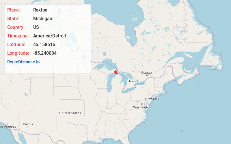
Full AddressRexton, MI 49762
-
Coordinates46.1586162, -85.2400842
-
LocationRexton , Michigan , US
-
TimezoneAmerica/Detroit
-
Current Local Time6:49:44 AM America/DetroitSaturday, June 21, 2025
-
Page Views0
Nearby Places
Found 10 places within 50 miles

Caffey
2.7 mi
4.3 km
Caffey, MI 49762
Get directions

Garnet
3.2 mi
5.1 km
Garnet, MI 49762
Get directions

Gilchrist
7.0 mi
11.3 km
Gilchrist, MI 49762
Get directions

Epoufette
7.9 mi
12.7 km
Epoufette, MI 49762
Get directions

Hulbert Township
10.3 mi
16.6 km
Hulbert Township, MI
Get directions

Naubinway
10.9 mi
17.5 km
Naubinway, MI 49762
Get directions
Millecoquins
12.9 mi
20.8 km
Millecoquins, MI 49827
Get directions
Ozark
13.2 mi
21.2 km
Ozark, MI 49760
Get directions
Kenneth
15.4 mi
24.8 km
Kenneth, MI 49760
Get directions

Trout Lake Township
15.8 mi
25.4 km
Trout Lake Township, MI
Get directions
Location Links
Local Weather
Weather Information
Coming soon!
Location Map
Static map view of Rexton, Michigan
Browse Places by Distance
Places within specific distances from Rexton
Short Distances
Long Distances
Click any distance to see all places within that range from Rexton. Distances shown in miles (1 mile ≈ 1.61 kilometers).