Distance to Rexville, New York

Calculating Your Route
Just a moment while we process your request...
Location Information
-
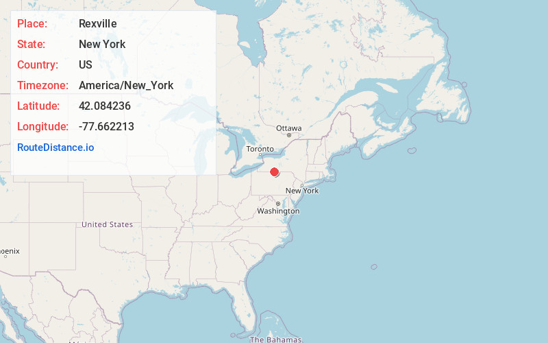
Full AddressRexville, NY 14877
-
Coordinates42.0842363, -77.6622129
-
LocationRexville , New York , US
-
TimezoneAmerica/New_York
-
Current Local Time3:34:15 PM America/New_YorkMonday, June 16, 2025
-
Page Views0
About Rexville
Rexville is a hamlet in Steuben County, New York, United States. The community is located along New York State Route 248, 13.2 miles south-southwest of Canisteo. Rexville has a post office with ZIP code 14877, which opened on July 10, 1855.
Nearby Places
Found 10 places within 50 miles

Wileyville
4.3 mi
6.9 km
Wileyville, West Union, NY 14877
Get directions
Troupsburg
6.6 mi
10.6 km
Troupsburg, NY 14885
Get directions
Brookfield
7.1 mi
11.4 km
Brookfield, PA 16950
Get directions
North Bingham
8.4 mi
13.5 km
North Bingham, PA 16941
Get directions
Andover
8.5 mi
13.7 km
Andover, NY
Get directions
Fulmer Valley
8.7 mi
14.0 km
Fulmer Valley, Independence, NY 14895
Get directions
Bingham Center
10.7 mi
17.2 km
Bingham Center, Bingham Township, PA 16923
Get directions
Hartsville
11.4 mi
18.3 km
Hartsville, NY 14843
Get directions
Harrison
11.8 mi
19.0 km
Harrison, PA 16948
Get directions
Shongo
12.9 mi
20.8 km
Shongo, Willing, NY 14895
Get directions
Location Links
Local Weather
Weather Information
Coming soon!
Location Map
Static map view of Rexville, New York
Browse Places by Distance
Places within specific distances from Rexville
Short Distances
Long Distances
Click any distance to see all places within that range from Rexville. Distances shown in miles (1 mile ≈ 1.61 kilometers).