Distance to Reynolds Heights, Pennsylvania

Calculating Your Route
Just a moment while we process your request...
Location Information
-
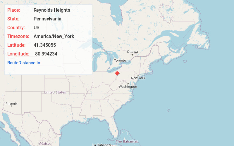
Full AddressReynolds Heights, PA 16125
-
Coordinates41.3450554, -80.3942341
-
LocationReynolds Heights , Pennsylvania , US
-
TimezoneAmerica/New_York
-
Current Local Time11:42:36 PM America/New_YorkWednesday, June 18, 2025
-
Page Views0
About Reynolds Heights
Reynolds Heights is a census-designated place located in Pymatuning Township and in Mercer County in the state of Pennsylvania. The community is located off Pennsylvania Route 18. As of the 2010 census the population was 2,061 residents, which fell to 1,974 inhabitants at the 2020 Census.
Nearby Places
Found 10 places within 50 miles

Shenango
2.4 mi
3.9 km
Shenango, PA 16125
Get directions

Greenville
4.1 mi
6.6 km
Greenville, PA 16125
Get directions
West Salem Township
5.1 mi
8.2 km
West Salem Township, PA
Get directions

South Pymatuning Township
5.2 mi
8.4 km
South Pymatuning Township, PA
Get directions

Sharpsville
7.2 mi
11.6 km
Sharpsville, PA 16150
Get directions

Hermitage
8.2 mi
13.2 km
Hermitage, PA
Get directions

Sharon
9.3 mi
15.0 km
Sharon, PA
Get directions
West Hill
10.1 mi
16.3 km
West Hill, OH 44438
Get directions
Farrell
10.6 mi
17.1 km
Farrell, PA
Get directions
Lackawannock Township
11.1 mi
17.9 km
Lackawannock Township, PA
Get directions
Location Links
Local Weather
Weather Information
Coming soon!
Location Map
Static map view of Reynolds Heights, Pennsylvania
Browse Places by Distance
Places within specific distances from Reynolds Heights
Short Distances
Long Distances
Click any distance to see all places within that range from Reynolds Heights. Distances shown in miles (1 mile ≈ 1.61 kilometers).