Distance to Reynoldston, New York

Calculating Your Route
Just a moment while we process your request...
Location Information
-
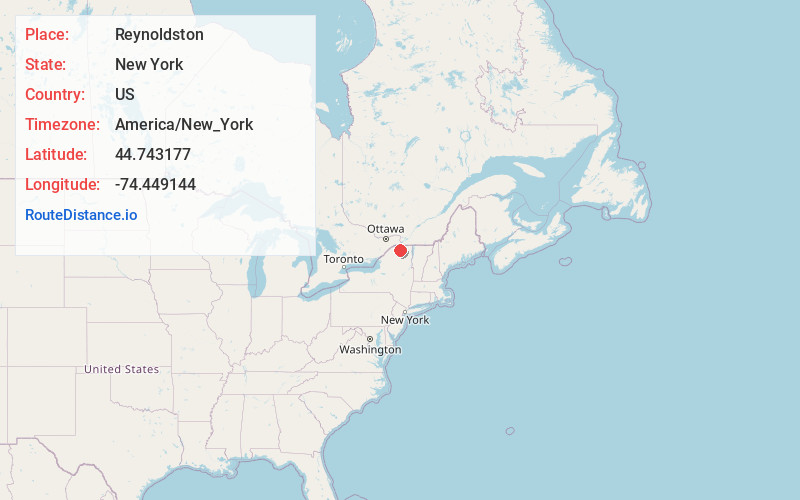
Full AddressReynoldston, NY 12966
-
Coordinates44.743177, -74.449144
-
LocationReynoldston , New York , US
-
TimezoneAmerica/New_York
-
Current Local Time8:41:19 PM America/New_YorkWednesday, July 2, 2025
-
Page Views0
About Reynoldston
Reynoldston is a former settlement in Upstate New York or sometimes referred to as Northern New York, United States. Located in the township of Brandon in Franklin County, Reynoldston sits along the Deer River at 1,258 feet above sea level, or about 1,000 feet above the St. Lawrence River Valley.
Nearby Places
Found 10 places within 50 miles

Brandon
0.6 mi
1.0 km
Brandon, NY 12966
Get directions
East Dickinson
3.5 mi
5.6 km
East Dickinson, NY 12930
Get directions
Skerry
3.7 mi
6.0 km
Skerry, NY 12966
Get directions
West Bangor
4.3 mi
6.9 km
West Bangor, NY 12966
Get directions
Dickinson Center
5.4 mi
8.7 km
Dickinson Center, NY 12930
Get directions

St Regis Falls
6.7 mi
10.8 km
St Regis Falls, NY 12980
Get directions
Brushton
6.8 mi
10.9 km
Brushton, NY 12916
Get directions
Alburg
6.9 mi
11.1 km
Alburg, NY 12916
Get directions
Santa Clara
7.6 mi
12.2 km
Santa Clara, NY 12980
Get directions
Lawrenceville
10.1 mi
16.3 km
Lawrenceville, NY 12967
Get directions
Location Links
Local Weather
Weather Information
Coming soon!
Location Map
Static map view of Reynoldston, New York
Browse Places by Distance
Places within specific distances from Reynoldston
Short Distances
Long Distances
Click any distance to see all places within that range from Reynoldston. Distances shown in miles (1 mile ≈ 1.61 kilometers).