Distance to Reynoldsville, Pennsylvania

Calculating Your Route
Just a moment while we process your request...
Location Information
-
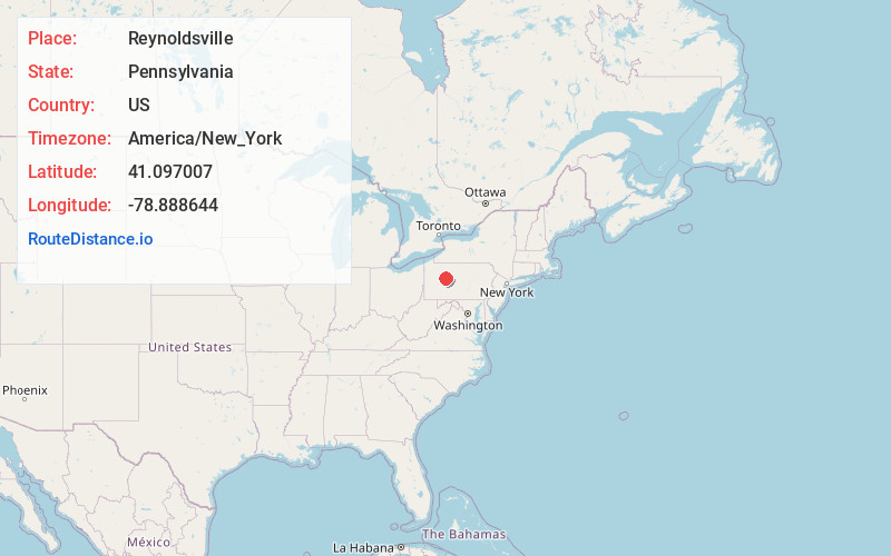
Full AddressReynoldsville, PA 15851
-
Coordinates41.0970071, -78.8886436
-
LocationReynoldsville , Pennsylvania , US
-
TimezoneAmerica/New_York
-
Current Local Time6:16:11 AM America/New_YorkThursday, June 5, 2025
-
Page Views0
About Reynoldsville
Reynoldsville is a borough in Jefferson County, Pennsylvania, United States. It is 73 miles northeast of Pittsburgh in a productive soft coal region. The population was 2,759 at the 2010 census.
Reynoldsville was originally called Winslow Township and was renamed after local postmaster Thomas Reynolds in 1850.


Nearby Places
Found 10 places within 50 miles

Sandy
6.2 mi
10.0 km
Sandy, PA 15801
Get directions

DuBois
7.0 mi
11.3 km
DuBois, PA 15801
Get directions

Treasure Lake
10.4 mi
16.7 km
Treasure Lake, PA
Get directions

Brookville
11.0 mi
17.7 km
Brookville, PA 15825
Get directions

Punxsutawney
11.4 mi
18.3 km
Punxsutawney, PA 15767
Get directions
Hamilton
15.6 mi
25.1 km
Hamilton, PA 15744
Get directions

Ridgway
23.8 mi
38.3 km
Ridgway, PA 15853
Get directions

Clearfield
23.9 mi
38.5 km
Clearfield, PA 16830
Get directions
Rayne
25.9 mi
41.7 km
Rayne, PA 15759
Get directions
Barrett
26.7 mi
43.0 km
Barrett, Bradford Township, PA 16830
Get directions
Location Links
Local Weather
Weather Information
Coming soon!
Location Map
Static map view of Reynoldsville, Pennsylvania
Browse Places by Distance
Places within specific distances from Reynoldsville
Short Distances
Long Distances
Click any distance to see all places within that range from Reynoldsville. Distances shown in miles (1 mile ≈ 1.61 kilometers).