Distance to Rhyolite, Nevada

Calculating Your Route
Just a moment while we process your request...
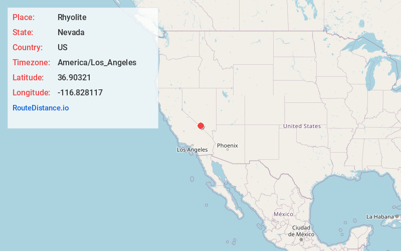
Location Information
-
Full AddressRhyolite, NV 89003
-
Coordinates36.90321, -116.828117
-
LocationRhyolite , Nevada , US
-
TimezoneAmerica/Los_Angeles
-
Current Local Time3:29:02 AM America/Los_AngelesThursday, June 5, 2025
-
Page Views1
About Rhyolite
Rhyolite is a ghost town in Nye County, Nevada, United States. It is in the Bullfrog Hills, about 120 miles northwest of Las Vegas, near the eastern boundary of Death Valley National Park.
The town began in early 1905 as one of several mining camps that sprang up after a prospecting discovery in the surrounding hills.


Nearby Places
Found 5 places within 50 miles

Beatty
3.8 mi
6.1 km
Beatty, NV 89003
Get directions

Amargosa Valley
29.7 mi
47.8 km
Amargosa Valley, NV 89020
Get directions

Furnace Creek
30.9 mi
49.7 km
Furnace Creek, CA 92328
Get directions

Tokop
36.4 mi
58.6 km
Tokop, NV 89013
Get directions

Badwater
46.7 mi
75.2 km
Badwater, CA
Get directions
Location Links
Local Weather
Weather Information
Coming soon!
Location Map
Static map view of Rhyolite, Nevada
Browse Places by Distance
Places within specific distances from Rhyolite
Short Distances
Long Distances
Click any distance to see all places within that range from Rhyolite. Distances shown in miles (1 mile ≈ 1.61 kilometers).