Distance to Rice, California

Calculating Your Route
Just a moment while we process your request...
Location Information
-
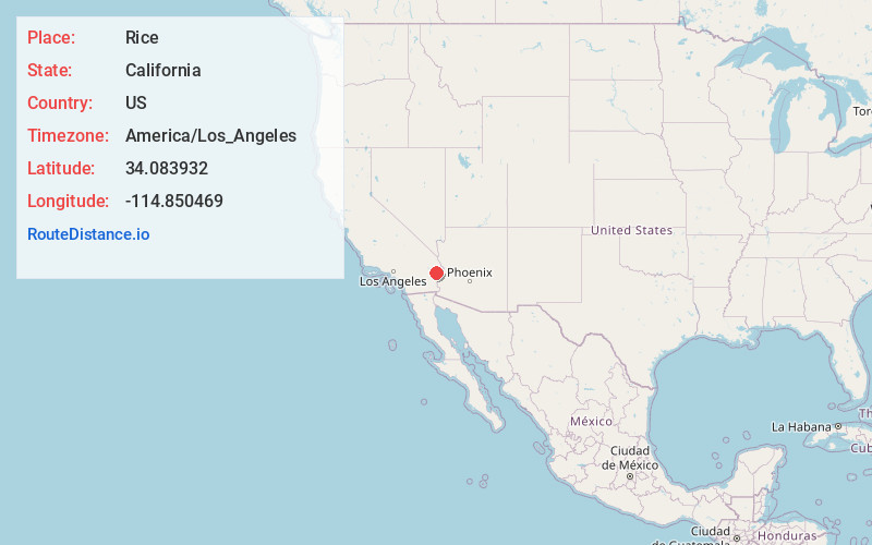
Full AddressRice, CA 92280
-
Coordinates34.0839316, -114.8504687
-
LocationRice , California , US
-
TimezoneAmerica/Los_Angeles
-
Current Local Time3:49:51 AM America/Los_AngelesSaturday, June 21, 2025
-
Page Views0
About Rice
Rice, formerly named Blythe Junction, is a former town in the Rice Valley and the southern tip of the Mojave Desert, and within unincorporated San Bernardino County, southern California. Although it is still on many maps, the only things remaining there are the Rice Shoe Tree and an unmanned railroad siding.


Nearby Places
Found 10 places within 50 miles

Poston
26.8 mi
43.1 km
Poston, AZ 85344
Get directions

Fishel
27.4 mi
44.1 km
Fishel, CA 92277
Get directions

Big River
28.2 mi
45.4 km
Big River, CA
Get directions

Parker
32.4 mi
52.1 km
Parker, AZ
Get directions

Bluewater
33.7 mi
54.2 km
Bluewater, CA 92242
Get directions

Mesa Verde
33.9 mi
54.6 km
Mesa Verde, CA 92225
Get directions

Bluewater
34.0 mi
54.7 km
Bluewater, AZ 85344
Get directions

Blythe
35.6 mi
57.3 km
Blythe, CA
Get directions
Cienega Springs
36.7 mi
59.1 km
Cienega Springs, AZ 85344
Get directions

Ehrenberg
38.0 mi
61.2 km
Ehrenberg, AZ
Get directions
Location Links
Local Weather
Weather Information
Coming soon!
Location Map
Static map view of Rice, California
Browse Places by Distance
Places within specific distances from Rice
Short Distances
Long Distances
Click any distance to see all places within that range from Rice. Distances shown in miles (1 mile ≈ 1.61 kilometers).