Distance to Rice, Minnesota

Calculating Your Route
Just a moment while we process your request...
Location Information
-
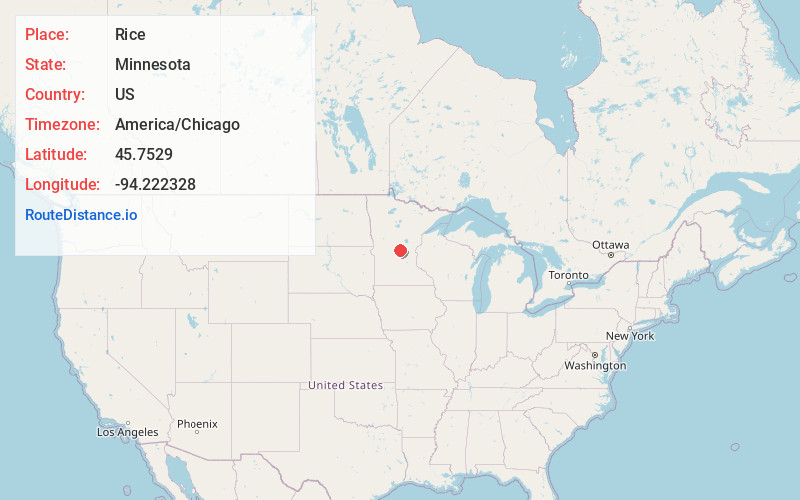
Full AddressRice, MN 56367
-
Coordinates45.7529003, -94.2223283
-
LocationRice , Minnesota , US
-
TimezoneAmerica/Chicago
-
Current Local Time8:43:50 AM America/ChicagoTuesday, June 24, 2025
-
Website
-
Page Views0
About Rice
Rice is a city in Benton County, Minnesota, United States. The population was 1,275 at the 2010 census. Its zip code also encompasses Graham, Langola, and Watab townships.
Rice is part of the St. Cloud Metropolitan Statistical Area.

Nearby Places
Found 10 places within 50 miles

Sartell
9.1 mi
14.6 km
Sartell, MN
Get directions

Sauk Rapids
11.5 mi
18.5 km
Sauk Rapids, MN
Get directions

Waite Park
13.5 mi
21.7 km
Waite Park, MN
Get directions

St Cloud
13.8 mi
22.2 km
St Cloud, MN
Get directions

St Joseph
13.8 mi
22.2 km
St Joseph, MN
Get directions

Foley
16.3 mi
26.2 km
Foley, MN 56329
Get directions

Little Falls
17.2 mi
27.7 km
Little Falls, MN 56345
Get directions

Albany
18.8 mi
30.3 km
Albany, MN 56307
Get directions

Rockville
19.9 mi
32.0 km
Rockville, MN
Get directions

St Augusta
20.7 mi
33.3 km
St Augusta, MN
Get directions
Location Links
Local Weather
Weather Information
Coming soon!
Location Map
Static map view of Rice, Minnesota
Browse Places by Distance
Places within specific distances from Rice
Short Distances
Long Distances
Click any distance to see all places within that range from Rice. Distances shown in miles (1 mile ≈ 1.61 kilometers).