Distance to Richardson County, Nebraska

Calculating Your Route
Just a moment while we process your request...
Location Information
-
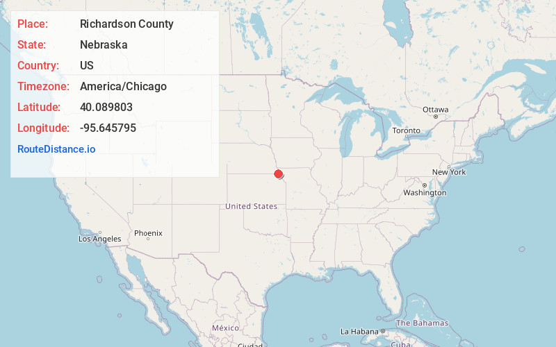
Full AddressRichardson County, NE
-
Coordinates40.0898025, -95.6457951
-
LocationNebraska , US
-
TimezoneAmerica/Chicago
-
Current Local Time2:00:57 PM America/ChicagoFriday, June 13, 2025
-
Page Views0
About Richardson County
Richardson County is the easternmost county in the U.S. state of Nebraska. As of the 2020 census, the population was 7,871. Its county seat is Falls City.
In the Nebraska license plate system, Richardson County is represented by the prefix 19.
Nearby Places
Found 10 places within 50 miles

Straussville
1.4 mi
2.3 km
Straussville, NE 68355
Get directions

Falls City
3.1 mi
5.0 km
Falls City, NE 68355
Get directions
Salem
4.1 mi
6.6 km
Salem, NE 68433
Get directions

Verdon
5.3 mi
8.5 km
Verdon, NE 68457
Get directions
Preston
7.8 mi
12.6 km
Preston, NE 68355
Get directions
Reserve
9.0 mi
14.5 km
Reserve, KS 66434
Get directions
Barada
9.6 mi
15.4 km
Barada, NE 68355
Get directions

Dawson
10.2 mi
16.4 km
Dawson, NE 68337
Get directions

Shubert
10.3 mi
16.6 km
Shubert, NE 68437
Get directions
Morrill
11.4 mi
18.3 km
Morrill, KS 66515
Get directions
Location Links
Local Weather
Weather Information
Coming soon!
Location Map
Static map view of Richardson County, Nebraska
Browse Places by Distance
Places within specific distances from Richardson County
Short Distances
Long Distances
Click any distance to see all places within that range from Richardson County. Distances shown in miles (1 mile ≈ 1.61 kilometers).