Distance to Richfield, Minnesota

Calculating Your Route
Just a moment while we process your request...
Location Information
-
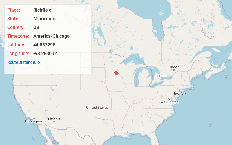
Full AddressRichfield, MN 55423
-
Coordinates44.8832982, -93.2830021
-
LocationRichfield , Minnesota , US
-
TimezoneAmerica/Chicago
-
Current Local Time12:49:39 AM America/ChicagoMonday, June 2, 2025
-
Website
-
Page Views0
About Richfield
Richfield is a city in Hennepin County, Minnesota. An inner-ring suburb of Minneapolis, Richfield is bordered by Minneapolis to the north, Minneapolis–Saint Paul International Airport and Fort Snelling to the east, Bloomington to the south, and Edina to the west. The population was 36,994 at the 2020 census.


Nearby Places
Found 10 places within 50 miles

Bloomington
3.0 mi
4.8 km
Bloomington, MN
Get directions

Edina
3.3 mi
5.3 km
Edina, MN
Get directions

Minneapolis
6.6 mi
10.6 km
Minneapolis, MN
Get directions

Eagan
7.9 mi
12.7 km
Eagan, MN
Get directions

Burnsville
8.0 mi
12.9 km
Burnsville, MN
Get directions

Eden Prairie
9.4 mi
15.1 km
Eden Prairie, MN
Get directions

Minnetonka
9.8 mi
15.8 km
Minnetonka, MN
Get directions

St Paul
10.6 mi
17.1 km
St Paul, MN
Get directions

Apple Valley
10.9 mi
17.5 km
Apple Valley, MN 55124
Get directions

Plymouth
12.2 mi
19.6 km
Plymouth, MN
Get directions
Location Links
Local Weather
Weather Information
Coming soon!
Location Map
Static map view of Richfield, Minnesota
Browse Places by Distance
Places within specific distances from Richfield
Short Distances
Long Distances
Click any distance to see all places within that range from Richfield. Distances shown in miles (1 mile ≈ 1.61 kilometers).