Distance to Riley Hill, North Carolina

Calculating Your Route
Just a moment while we process your request...
Location Information
-
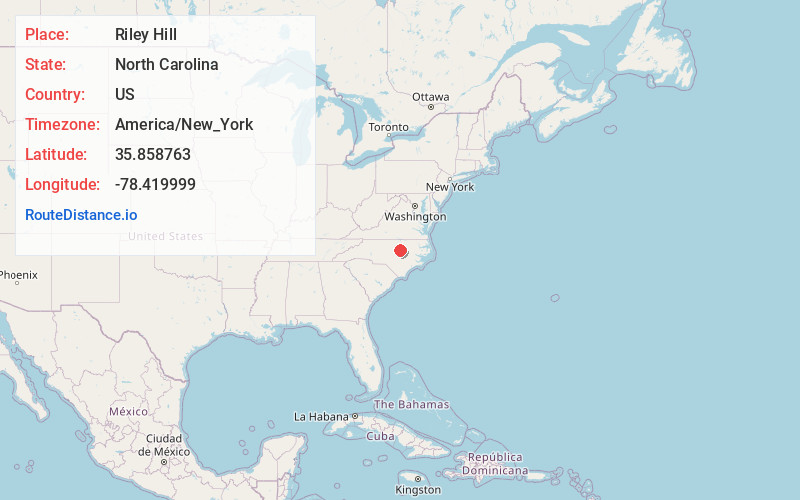
Full AddressRiley Hill, NC 27597
-
Coordinates35.8587634, -78.4199993
-
LocationNorth Carolina , US
-
TimezoneAmerica/New_York
-
Current Local Time3:48:03 AM America/New_YorkThursday, June 5, 2025
-
Page Views0
About Riley Hill
Riley Hill, North Carolina, United States, is an unincorporated community in mideastern Wake County. It is at the southern end of Broughton Road, on Riley Hill Road and is approximately six miles northeast of Knightdale, and approximately 3.8 miles north of the intersection of U.S. 64/264, and Business U.S. 64.

Nearby Places
Found 10 places within 50 miles

Penny Hill Lake
2.9 mi
4.7 km
Penny Hill Lake, North Carolina 27597
Get directions
Six Forks Crossroads
3.5 mi
5.6 km
Six Forks Crossroads, NC 27616
Get directions
Lassiter
3.6 mi
5.8 km
Lassiter, NC 27587
Get directions

Lizard Lick
3.9 mi
6.3 km
Lizard Lick, NC 27591
Get directions
Hopkins
4.2 mi
6.8 km
Hopkins, NC 27597
Get directions

Eagle Rock
4.7 mi
7.6 km
Eagle Rock, NC 27591
Get directions

Rolesville
4.9 mi
7.9 km
Rolesville, NC
Get directions
Barham
5.8 mi
9.3 km
Barham, NC 27587
Get directions

Knightdale
6.0 mi
9.7 km
Knightdale, NC
Get directions

Wendell
6.1 mi
9.8 km
Wendell, NC
Get directions
Location Links
Local Weather
Weather Information
Coming soon!
Location Map
Static map view of Riley Hill, North Carolina
Browse Places by Distance
Places within specific distances from Riley Hill
Short Distances
Long Distances
Click any distance to see all places within that range from Riley Hill. Distances shown in miles (1 mile ≈ 1.61 kilometers).