Distance to Ripplemead, Virginia

Calculating Your Route
Just a moment while we process your request...
Location Information
-
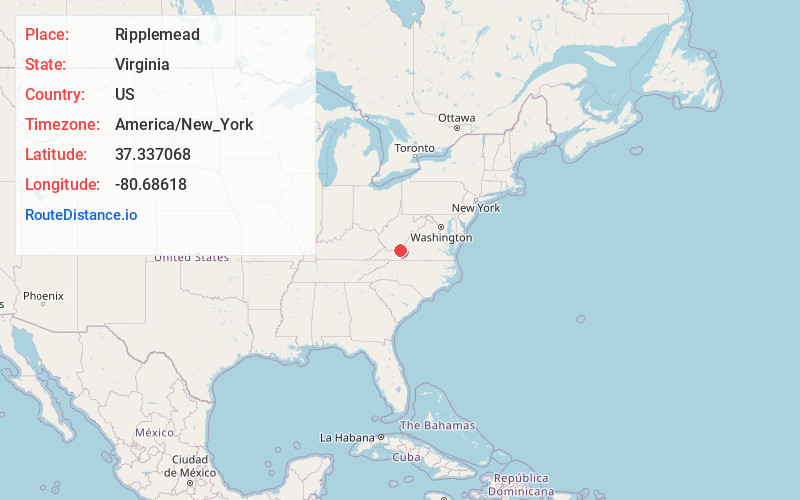
Full AddressRipplemead, VA 24150
-
Coordinates37.3370675, -80.6861796
-
LocationRipplemead , Virginia , US
-
TimezoneAmerica/New_York
-
Current Local Time9:32:07 AM America/New_YorkTuesday, July 1, 2025
-
Page Views0
About Ripplemead
Ripplemead is an unincorporated community and census designated place in Giles County, Virginia, United States. Ripplemead is located along the New River, 2.8 miles east-northeast of Pearisburg. Ripplemead has a post office with ZIP code 24150.


Nearby Places
Found 10 places within 50 miles

Pearisburg
2.8 mi
4.5 km
Pearisburg, VA 24134
Get directions

Pembroke
2.9 mi
4.7 km
Pembroke, VA 24136
Get directions

Narrows
6.9 mi
11.1 km
Narrows, VA 24124
Get directions

Peterstown
7.5 mi
12.1 km
Peterstown, WV 24963
Get directions

Mountain Lake Wilderness
7.6 mi
12.2 km
Mountain Lake Wilderness, Pembroke, VA 24136
Get directions
Rich Creek
8.1 mi
13.0 km
Rich Creek, VA
Get directions

Parrott
9.9 mi
15.9 km
Parrott, VA
Get directions
Prices Fork
13.9 mi
22.4 km
Prices Fork, VA 24060
Get directions

Fairlawn
14.3 mi
23.0 km
Fairlawn, VA 24141
Get directions

New River
14.7 mi
23.7 km
New River, VA 24141
Get directions
Location Links
Local Weather
Weather Information
Coming soon!
Location Map
Static map view of Ripplemead, Virginia
Browse Places by Distance
Places within specific distances from Ripplemead
Short Distances
Long Distances
Click any distance to see all places within that range from Ripplemead. Distances shown in miles (1 mile ≈ 1.61 kilometers).