Distance to Ritchie, Illinois

Calculating Your Route
Just a moment while we process your request...
Location Information
-
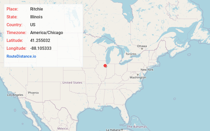
Full AddressRitchie, IL 60481
-
Coordinates41.2550318, -88.1053328
-
LocationRitchie , Illinois , US
-
TimezoneAmerica/Chicago
-
Current Local Time12:10:22 PM America/ChicagoSaturday, May 24, 2025
-
Page Views0
About Ritchie
Ritchie is an unincorporated community and census designated place in southern Will County, Illinois, United States. It is located along Forked Creek and Illinois Route 102, three miles southeast of the city of Wilmington in Wesley Township.
Nearby Places
Found 10 places within 50 miles

Custer Park
1.4 mi
2.3 km
Custer Park, IL 60481
Get directions

Lakewood Shores
2.9 mi
4.7 km
Lakewood Shores, IL 60481
Get directions

Wilmington
4.2 mi
6.8 km
Wilmington, IL 60481
Get directions

Braidwood
5.6 mi
9.0 km
Braidwood, IL
Get directions

Essex
6.8 mi
10.9 km
Essex, IL 60935
Get directions

Godley
7.3 mi
11.7 km
Godley, IL 60407
Get directions
Bonfield
7.9 mi
12.7 km
Bonfield, IL 60913
Get directions

Diamond
7.9 mi
12.7 km
Diamond, IL
Get directions
Braceville
8.5 mi
13.7 km
Braceville, IL
Get directions

Coal City
9.6 mi
15.4 km
Coal City, IL
Get directions
Location Links
Local Weather
Weather Information
Coming soon!
Location Map
Static map view of Ritchie, Illinois
Browse Places by Distance
Places within specific distances from Ritchie
Short Distances
Long Distances
Click any distance to see all places within that range from Ritchie. Distances shown in miles (1 mile ≈ 1.61 kilometers).