Distance to Riverside, New Mexico

Calculating Your Route
Just a moment while we process your request...
Location Information
-
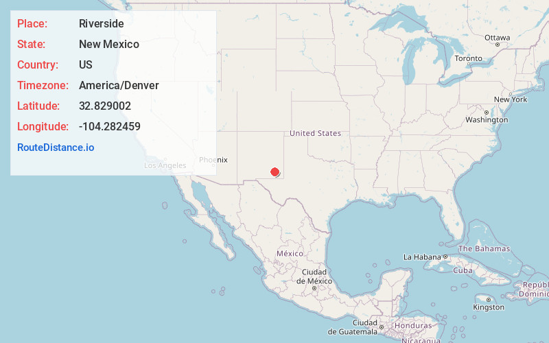
Full AddressRiverside, NM 88210
-
Coordinates32.8290024, -104.2824591
-
LocationRiverside , New Mexico , US
-
TimezoneAmerica/Denver
-
Current Local Time7:10:57 PM America/DenverThursday, June 19, 2025
-
Page Views0
About Riverside
Riverside is an unincorporated community in Eddy County, New Mexico, in the southwestern United States. It is located on the left bank of the Pecos River about five miles east of Artesia, New Mexico on U.S. Route 82. Riverside is in the Loco Hills Division of Eddy County.
Nearby Places
Found 10 places within 50 miles

Artesia
7.1 mi
11.4 km
Artesia, NM 88210
Get directions

Atoka
7.6 mi
12.2 km
Atoka, NM 88210
Get directions
Espuela
9.3 mi
15.0 km
Espuela, NM 88210
Get directions
Frontier Post
11.7 mi
18.8 km
Frontier Post, NM 88210
Get directions

Lake Arthur
12.7 mi
20.4 km
Lake Arthur, NM 88253
Get directions
Mossman
16.1 mi
25.9 km
Mossman, NM 88232
Get directions

Loco Hills
17.6 mi
28.3 km
Loco Hills, NM 88255
Get directions
Seven Rivers
18.1 mi
29.1 km
Seven Rivers, NM 88220
Get directions

Hagerman
19.9 mi
32.0 km
Hagerman, NM 88232
Get directions
Carlsbad North
26.1 mi
42.0 km
Carlsbad North, NM 88220
Get directions
Location Links
Local Weather
Weather Information
Coming soon!
Location Map
Static map view of Riverside, New Mexico
Browse Places by Distance
Places within specific distances from Riverside
Short Distances
Long Distances
Click any distance to see all places within that range from Riverside. Distances shown in miles (1 mile ≈ 1.61 kilometers).