Distance to Road Town

Calculating Your Route
Just a moment while we process your request...
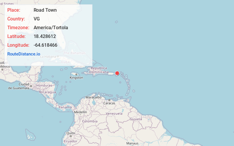
Location Information
-
Full AddressRoad Town, British Virgin Islands
-
Coordinates18.4286115, -64.6184657
-
LocationRoad Town , VG
-
TimezoneAmerica/Tortola
-
Current Local Time7:45:21 AM America/TortolaSunday, June 1, 2025
-
Page Views0
About Road Town
Road Town, located on Tortola, is the capital and largest town of the British Virgin Islands. It is situated on the horseshoe-shaped Road Harbour in the centre of the island's south coast. The population was about 15,000 in 2018.


Nearby Places
Found 4 places within 50 miles

Virgin Gorda
14.9 mi
24.0 km
Virgin Gorda, British Virgin Islands
Get directions

U.S. Virgin Islands
19.3 mi
31.1 km
U.S. Virgin Islands
Get directions

Charlotte Amalie
21.4 mi
34.4 km
Charlotte Amalie, St Thomas 00802, USVI
Get directions

Culebra
44.8 mi
72.1 km
Culebra 00775, Puerto Rico
Get directions
Location Links
Local Weather
Weather Information
Coming soon!
Location Map
Static map view of Road Town
Browse Places by Distance
Places within specific distances from Road Town
Short Distances
Long Distances
Click any distance to see all places within that range from Road Town. Distances shown in miles (1 mile ≈ 1.61 kilometers).