Distance to Roadstown, New Jersey

Calculating Your Route
Just a moment while we process your request...
Location Information
-
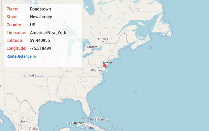
Full AddressRoadstown, Hopewell, NJ 08302
-
Coordinates39.4409552, -75.3184988
-
NeighborhoodRoadstown
-
LocationHopewell , New Jersey , US
-
TimezoneAmerica/New_York
-
Current Local Time8:31:26 AM America/New_YorkTuesday, June 10, 2025
-
Page Views0
About Roadstown
Roadstown is an unincorporated community located within Stow Creek Township, in Cumberland County, in the U.S. state of New Jersey.
Roadstown is located at the intersection of County Route 620 and 626, approximately 3 mi southwest of Shiloh.
Nearby Places
Found 10 places within 50 miles

Stow Creek
1.2 mi
1.9 km
Stow Creek, NJ
Get directions

Shiloh
1.6 mi
2.6 km
Shiloh, NJ
Get directions

Greenwich
3.5 mi
5.6 km
Greenwich, NJ
Get directions

Bridgeton
4.6 mi
7.4 km
Bridgeton, NJ 08302
Get directions

Upper Deerfield Township
7.2 mi
11.6 km
Upper Deerfield Township, NJ
Get directions
Gouldtown
7.3 mi
11.7 km
Gouldtown, Fairfield, NJ 08302
Get directions

Lower Alloways Creek
7.5 mi
12.1 km
Lower Alloways Creek, NJ
Get directions

Alloway Township
8.6 mi
13.8 km
Alloway Township, NJ
Get directions

Quinton
8.8 mi
14.2 km
Quinton, NJ
Get directions

Pittsgrove
10.0 mi
16.1 km
Pittsgrove, NJ 08318
Get directions
Location Links
Local Weather
Weather Information
Coming soon!
Location Map
Static map view of Roadstown, New Jersey
Browse Places by Distance
Places within specific distances from Roadstown
Short Distances
Long Distances
Click any distance to see all places within that range from Roadstown. Distances shown in miles (1 mile ≈ 1.61 kilometers).