Distance to Robbin, Minnesota

Calculating Your Route
Just a moment while we process your request...
Location Information
-
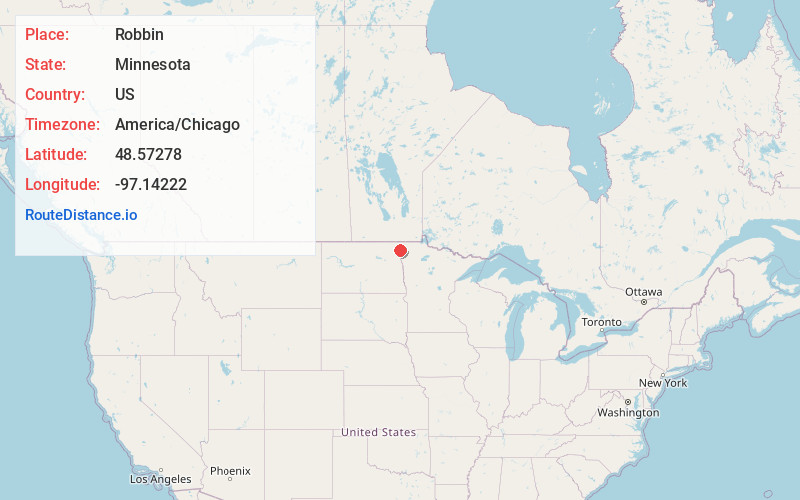
Full AddressRobbin, MN 58225
-
Coordinates48.57278, -97.14222
-
LocationRobbin , Minnesota , US
-
TimezoneAmerica/Chicago
-
Current Local Time3:08:25 AM America/ChicagoWednesday, June 25, 2025
-
Page Views0
About Robbin
Robbin is an unincorporated community in Teien Township, Kittson County, Minnesota, United States.
The community is located along the Red River, near Drayton, North Dakota. It is located along State Highway 11 near its junction with State Highway 220 and Kittson County Road 7.
Nearby Places
Found 10 places within 50 miles

Drayton
1.6 mi
2.6 km
Drayton, ND 58225
Get directions
Pittsburgh
4.2 mi
6.8 km
Pittsburgh, ND 58225
Get directions
Bowesmont
8.3 mi
13.4 km
Bowesmont, ND 58225
Get directions
Mattson
8.6 mi
13.8 km
Mattson, MN 56728
Get directions
Donaldson
11.2 mi
18.0 km
Donaldson, MN 56720
Get directions
Kennedy
11.7 mi
18.8 km
Kennedy, MN 56733
Get directions
Oakwood
12.3 mi
19.8 km
Oakwood, ND 58237
Get directions
St Thomas
14.3 mi
23.0 km
St Thomas, ND 58276
Get directions
Auburn
14.3 mi
23.0 km
Auburn, ND 58237
Get directions
Stephen
15.0 mi
24.1 km
Stephen, MN 56757
Get directions
Location Links
Local Weather
Weather Information
Coming soon!
Location Map
Static map view of Robbin, Minnesota
Browse Places by Distance
Places within specific distances from Robbin
Short Distances
Long Distances
Click any distance to see all places within that range from Robbin. Distances shown in miles (1 mile ≈ 1.61 kilometers).