Distance to Robertson County, Texas

Calculating Your Route
Just a moment while we process your request...
Location Information
-
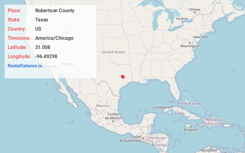
Full AddressRobertson County, TX
-
Coordinates31.0080004, -96.4929797
-
LocationTexas , US
-
TimezoneAmerica/Chicago
-
Current Local Time10:17:44 PM America/ChicagoWednesday, May 28, 2025
-
Page Views0
About Robertson County
Robertson County is a county in the U.S. state of Texas. As of the 2020 census, its population was 16,757. Its county seat is Franklin. The county was created in 1837 and organized the following year. It is named for Sterling C. Robertson, an early settler who signed the Texas Declaration of Independence.

Nearby Places
Found 10 places within 50 miles

Franklin
1.3 mi
2.1 km
Franklin, TX 77856
Get directions

Elliot
5.8 mi
9.3 km
Elliot, TX 77856
Get directions
Eaton
9.4 mi
15.1 km
Eaton, TX 77856
Get directions
Wheelock
9.8 mi
15.8 km
Wheelock, TX 77859
Get directions
Seger
9.8 mi
15.8 km
Seger, TX 77859
Get directions
Hearne
10.7 mi
17.2 km
Hearne, TX 77859
Get directions

Calvert
10.9 mi
17.5 km
Calvert, TX 77837
Get directions
Tidwell Prairie
11.3 mi
18.2 km
Tidwell Prairie, TX 76629
Get directions
Petteway
12.5 mi
20.1 km
Petteway, TX 76629
Get directions
Sutton
13.1 mi
21.1 km
Sutton, TX 77807
Get directions
Location Links
Local Weather
Weather Information
Coming soon!
Location Map
Static map view of Robertson County, Texas
Browse Places by Distance
Places within specific distances from Robertson County
Short Distances
Long Distances
Click any distance to see all places within that range from Robertson County. Distances shown in miles (1 mile ≈ 1.61 kilometers).