Distance to Roble Woods, Indiana

Calculating Your Route
Just a moment while we process your request...
Location Information
-
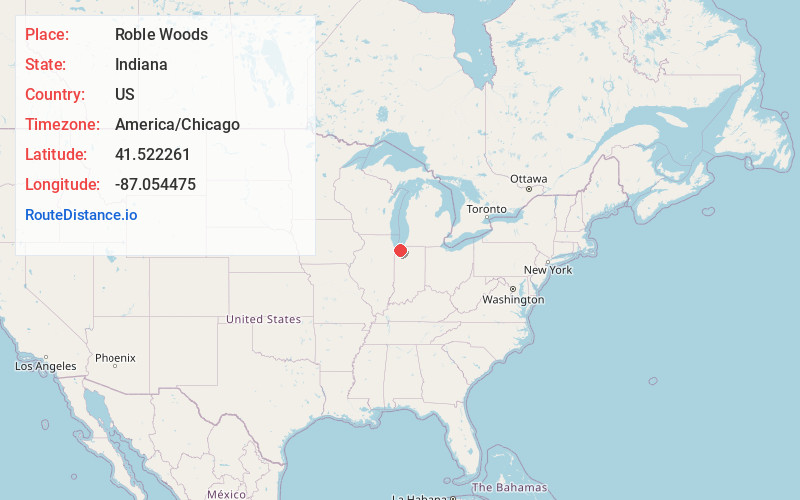
Full AddressRoble Woods, Liberty Township, IN 46383
-
Coordinates41.5222614, -87.0544752
-
LocationLiberty Township , Indiana , US
-
TimezoneAmerica/Chicago
-
Current Local Time7:08:05 PM America/ChicagoSunday, June 1, 2025
-
Page Views0
Nearby Places
Found 10 places within 50 miles

Valparaiso
3.4 mi
5.5 km
Valparaiso, IN
Get directions

South Haven
4.5 mi
7.2 km
South Haven, IN 46385
Get directions

Salt Creek Commons
4.5 mi
7.2 km
Salt Creek Commons, IN 46385
Get directions

Chesterton
6.1 mi
9.8 km
Chesterton, IN 46304
Get directions
Shorewood Forest
6.4 mi
10.3 km
Shorewood Forest, IN 46385
Get directions

Aberdeen
6.5 mi
10.5 km
Aberdeen, IN 46385
Get directions

Wheeler
6.5 mi
10.5 km
Wheeler, IN
Get directions

Portage
7.3 mi
11.7 km
Portage, IN
Get directions

Westville
8.1 mi
13.0 km
Westville, IN
Get directions

Burns Harbor
8.2 mi
13.2 km
Burns Harbor, IN
Get directions
Location Links
Local Weather
Weather Information
Coming soon!
Location Map
Static map view of Roble Woods, Indiana
Browse Places by Distance
Places within specific distances from Roble Woods
Short Distances
Long Distances
Click any distance to see all places within that range from Roble Woods. Distances shown in miles (1 mile ≈ 1.61 kilometers).