Distance to Rock Cave, West Virginia

Calculating Your Route
Just a moment while we process your request...
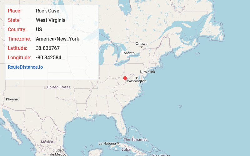
Location Information
-
Full AddressRock Cave, WV 26234
-
Coordinates38.8367674, -80.3425838
-
LocationRock Cave , West Virginia , US
-
TimezoneAmerica/New_York
-
Current Local Time9:11:46 AM America/New_YorkMonday, June 23, 2025
-
Page Views1
About Rock Cave
Rock Cave is a census designated unincorporated community in Upshur County, West Virginia, United States. The town is located southwest of Buckhannon at the junction of West Virginia Route 4 with County Routes 11/2 and 20/28.
Nearby Places
Found 10 places within 50 miles

Buckhannon
12.4 mi
20.0 km
Buckhannon, WV 26201
Get directions

Weston
15.5 mi
24.9 km
Weston, WV 26452
Get directions

Burnsville
16.9 mi
27.2 km
Burnsville, WV
Get directions

Flatwoods
18.3 mi
29.5 km
Flatwoods, WV
Get directions

Jane Lew
19.2 mi
30.9 km
Jane Lew, WV 26378
Get directions

Mill Creek
21.3 mi
34.3 km
Mill Creek, WV 26280
Get directions

Lost Creek
22.4 mi
36.0 km
Lost Creek, WV 26385
Get directions

Sutton
23.1 mi
37.2 km
Sutton, WV 26601
Get directions

Junior
23.3 mi
37.5 km
Junior, WV
Get directions

Webster Springs
25.0 mi
40.2 km
Webster Springs, WV 26288
Get directions
Location Links
Local Weather
Weather Information
Coming soon!
Location Map
Static map view of Rock Cave, West Virginia
Browse Places by Distance
Places within specific distances from Rock Cave
Short Distances
Long Distances
Click any distance to see all places within that range from Rock Cave. Distances shown in miles (1 mile ≈ 1.61 kilometers).