Distance to Rockford Township, Minnesota

Calculating Your Route
Just a moment while we process your request...
Location Information
-
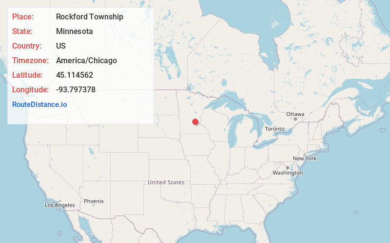
Full AddressRockford Township, MN
-
Coordinates45.1145618, -93.7973781
-
LocationRockford Township , Minnesota , US
-
TimezoneAmerica/Chicago
-
Current Local Time6:57:58 PM America/ChicagoMonday, June 2, 2025
-
Page Views0
About Rockford Township
Rockford Township is a township in Wright County, Minnesota, United States. The population was 3,444 at the 2000 census.
Rockford Township was organized in 1858, and named after its largest settlement, Rockford.

Nearby Places
Found 10 places within 50 miles

Rockford
3.3 mi
5.3 km
Rockford, MN
Get directions

Delano
5.0 mi
8.0 km
Delano, MN 55328
Get directions

Greenfield
5.2 mi
8.4 km
Greenfield, MN
Get directions

Buffalo
5.5 mi
8.9 km
Buffalo, MN 55313
Get directions

Crow River
6.0 mi
9.7 km
Crow River, Minnesota
Get directions

Montrose
6.4 mi
10.3 km
Montrose, MN 55363
Get directions

Hanover
7.0 mi
11.3 km
Hanover, MN
Get directions
Buffalo Township
7.1 mi
11.4 km
Buffalo Township, MN 55313
Get directions

Independence
7.6 mi
12.2 km
Independence, MN
Get directions

Marysville Township
8.0 mi
12.9 km
Marysville Township, MN
Get directions
Location Links
Local Weather
Weather Information
Coming soon!
Location Map
Static map view of Rockford Township, Minnesota
Browse Places by Distance
Places within specific distances from Rockford Township
Short Distances
Long Distances
Click any distance to see all places within that range from Rockford Township. Distances shown in miles (1 mile ≈ 1.61 kilometers).