Distance to Rockland, Delaware

Calculating Your Route
Just a moment while we process your request...
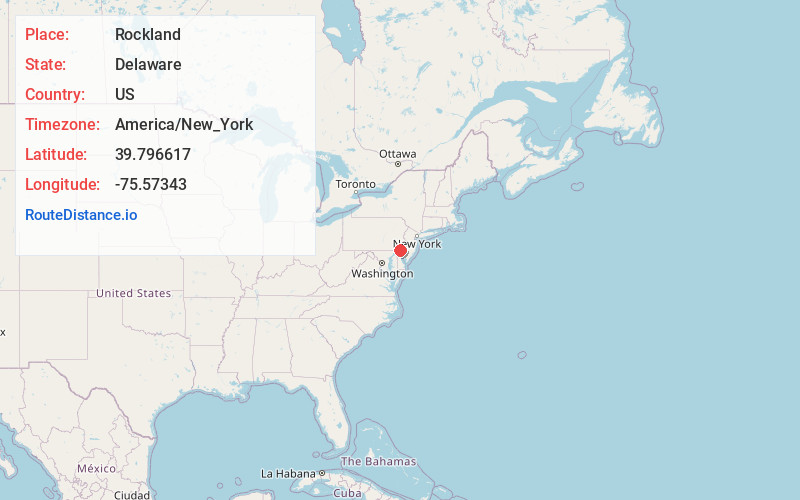
Location Information
-
Full AddressRockland, DE
-
Coordinates39.7966166, -75.5734298
-
NeighborhoodRockland
-
LocationRockland , Delaware , US
-
TimezoneAmerica/New_York
-
Current Local Time12:20:17 AM America/New_YorkTuesday, June 3, 2025
-
Page Views0
About Rockland
Rockland is an unincorporated community in northern New Castle County, Delaware, United States. It lies along Rockland Road north of the city of Wilmington, the county seat of New Castle County. Its elevation is 194 feet. It has a post office with the ZIP code of 19732.


Nearby Places
Found 10 places within 50 miles

Edenridge
0.6 mi
1.0 km
Edenridge, DE 19803
Get directions
Woodbrook
0.8 mi
1.3 km
Woodbrook, DE 19803
Get directions
Tavistock
1.0 mi
1.6 km
Tavistock, DE 19803
Get directions
Willow Run
1.0 mi
1.6 km
Willow Run, Delaware 19803
Get directions
McDaniel Heights
1.4 mi
2.3 km
McDaniel Heights, DE 19803
Get directions
Talleyville
1.6 mi
2.6 km
Talleyville, DE 19810
Get directions
Greenville Manor
1.6 mi
2.6 km
Greenville Manor, Greenville, DE 19807
Get directions

Greenville
1.8 mi
2.9 km
Greenville, DE 19807
Get directions
Henry Clay
1.8 mi
2.9 km
Henry Clay, DE 19807
Get directions
Oak Lane Manor
2.3 mi
3.7 km
Oak Lane Manor, DE 19803
Get directions
Location Links
Local Weather
Weather Information
Coming soon!
Location Map
Static map view of Rockland, Delaware
Browse Places by Distance
Places within specific distances from Rockland
Short Distances
Long Distances
Click any distance to see all places within that range from Rockland. Distances shown in miles (1 mile ≈ 1.61 kilometers).