Distance to and from Rockledge, Georgia
Rockledge, GA 30454
Rockledge
Georgia
US
America/New_York
Location Information
-
Full AddressRockledge, GA 30454
-
Coordinates32.4429472, -82.6976361
-
LocationRockledge , Georgia , US
-
TimezoneAmerica/New_York
-
Current Local Time8:04:26 AM America/New_YorkSunday, May 4, 2025
-
Page Views0
Directions to Nearest Cities
About Rockledge
Rockledge is an unincorporated community in Laurens County, Georgia, United States. The community is located along a Georgia Central Railway line near Georgia State Route 29, 13.8 miles east-southeast of Dublin. Rockledge has a post office with ZIP code 30454.


Nearby Places
Found 10 places within 50 miles

Orland
1.6 mi
2.6 km
Orland, GA 30457
Get directions
Orianna
3.7 mi
6.0 km
Orianna, GA 31002
Get directions
Lothair
6.6 mi
10.6 km
Lothair, GA 30457
Get directions

Soperton
7.6 mi
12.2 km
Soperton, GA 30457
Get directions
Scott
7.7 mi
12.4 km
Scott, GA 31002
Get directions
Barnhill
8.2 mi
13.2 km
Barnhill, GA 30457
Get directions
Lowery
8.5 mi
13.7 km
Lowery, GA 31021
Get directions
Catlin
8.6 mi
13.8 km
Catlin, GA 31027
Get directions

Adrian
8.8 mi
14.2 km
Adrian, GA 31002
Get directions
Condor
10.6 mi
17.1 km
Condor, GA 31027
Get directions
Orland
1.6 mi
2.6 km
Orland, GA 30457
Orianna
3.7 mi
6.0 km
Orianna, GA 31002
Lothair
6.6 mi
10.6 km
Lothair, GA 30457
Soperton
7.6 mi
12.2 km
Soperton, GA 30457
Scott
7.7 mi
12.4 km
Scott, GA 31002
Barnhill
8.2 mi
13.2 km
Barnhill, GA 30457
Lowery
8.5 mi
13.7 km
Lowery, GA 31021
Catlin
8.6 mi
13.8 km
Catlin, GA 31027
Adrian
8.8 mi
14.2 km
Adrian, GA 31002
Condor
10.6 mi
17.1 km
Condor, GA 31027
Location Links
Local Weather
Weather Information
Coming soon!
Location Map
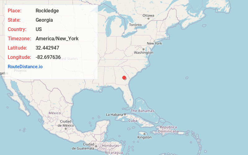
Static map view of Rockledge, Georgia
Browse Places by Distance
Places within specific distances from Rockledge
Short Distances
Long Distances
Click any distance to see all places within that range from Rockledge. Distances shown in miles (1 mile ≈ 1.61 kilometers).