Distance to Rocky Springs, Mississippi

Calculating Your Route
Just a moment while we process your request...
Location Information
-
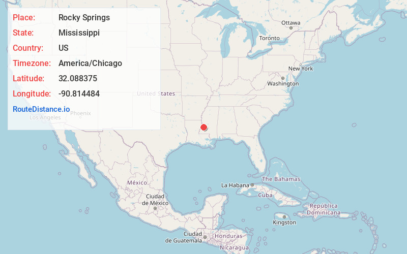
Full AddressRocky Springs, MS 39086
-
Coordinates32.088375, -90.8144839
-
LocationRocky Springs , Mississippi , US
-
TimezoneAmerica/Chicago
-
Current Local Time1:43:24 PM America/ChicagoMonday, May 19, 2025
-
Page Views0
About Rocky Springs
Rocky Springs is a ghost town and historic site located in Claiborne County, Mississippi, United States, between Old Port Gibson Road and the Natchez Trace Parkway. The old town site can be viewed by the public during daylight hours. Rocky Springs and the surrounding area is maintained by the National Park Service.


Nearby Places
Found 10 places within 50 miles

Reganton
5.3 mi
8.5 km
Reganton, MS 39175
Get directions
Duke
5.9 mi
9.5 km
Duke, MS 39175
Get directions
Willows
6.0 mi
9.7 km
Willows, MS 39150
Get directions
Carlisle
6.2 mi
10.0 km
Carlisle, MS 39086
Get directions
St Elmo
6.4 mi
10.3 km
St Elmo, MS 39086
Get directions
Insmore
7.0 mi
11.3 km
Insmore, MS 39086
Get directions
Myles
7.9 mi
12.7 km
Myles, MS 39086
Get directions
Jeff Davis
8.2 mi
13.2 km
Jeff Davis, MS 39180
Get directions
Carpenter
8.7 mi
14.0 km
Carpenter, MS 39086
Get directions
Kimberly
9.0 mi
14.5 km
Kimberly, MS 39180
Get directions
Location Links
Local Weather
Weather Information
Coming soon!
Location Map
Static map view of Rocky Springs, Mississippi
Browse Places by Distance
Places within specific distances from Rocky Springs
Short Distances
Long Distances
Click any distance to see all places within that range from Rocky Springs. Distances shown in miles (1 mile ≈ 1.61 kilometers).