Distance to Rodgers Forge, Maryland

Calculating Your Route
Just a moment while we process your request...
Location Information
-
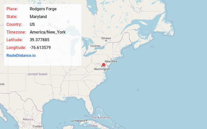
Full AddressRodgers Forge, Towson, MD 21212
-
Coordinates39.3778845, -76.6135794
-
LocationTowson , Maryland , US
-
TimezoneAmerica/New_York
-
Current Local Time2:12:07 PM America/New_YorkTuesday, July 1, 2025
-
Page Views0
About Rodgers Forge
Rodgers Forge is a national historic district southwest of the unincorporated Towson area and county seat of Baltimore County, Maryland, United States, just north of the Baltimore City/County line.

Nearby Places
Found 10 places within 50 miles

Stoneleigh
0.6 mi
1.0 km
Stoneleigh, Towson, MD 21212
Get directions
Knollwood
1.2 mi
1.9 km
Knollwood, Towson, MD 21286
Get directions
Donnybrook
1.4 mi
2.3 km
Donnybrook, Towson, MD 21286
Get directions
Southland Hills
1.4 mi
2.3 km
Southland Hills, Towson, MD 21204
Get directions
Four Winds
1.6 mi
2.6 km
Four Winds, Towson, MD 21204
Get directions

Towson
1.6 mi
2.6 km
Towson, MD
Get directions
Marlywood
1.6 mi
2.6 km
Marlywood, Towson, MD 21204
Get directions
Fellowship Forest
1.7 mi
2.7 km
Fellowship Forest, Towson, MD 21286
Get directions
Malvern
1.7 mi
2.7 km
Malvern, Towson, MD 21204
Get directions
Towson Park
2.1 mi
3.4 km
Towson Park, Towson, MD 21204
Get directions
Location Links
Local Weather
Weather Information
Coming soon!
Location Map
Static map view of Rodgers Forge, Maryland
Browse Places by Distance
Places within specific distances from Rodgers Forge
Short Distances
Long Distances
Click any distance to see all places within that range from Rodgers Forge. Distances shown in miles (1 mile ≈ 1.61 kilometers).