Distance to Rolla, Texas

Calculating Your Route
Just a moment while we process your request...
Location Information
-
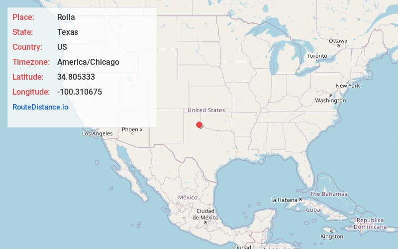
Full AddressRolla, TX 79095
-
Coordinates34.8053327, -100.3106745
-
LocationTexas , US
-
TimezoneAmerica/Chicago
-
Current Local Time10:14:48 PM America/ChicagoWednesday, July 2, 2025
-
Page Views0
Nearby Places
Found 10 places within 50 miles

Wellington
6.5 mi
10.5 km
Wellington, TX 79095
Get directions

Quail
8.8 mi
14.2 km
Quail, TX
Get directions

Memphis
13.8 mi
22.2 km
Memphis, TX 79245
Get directions
Giles
15.6 mi
25.1 km
Giles, TX 79237
Get directions
Lutie
15.9 mi
25.6 km
Lutie, TX 79079
Get directions
Dodson
16.5 mi
26.6 km
Dodson, TX 79230
Get directions
Samnorwood
17.1 mi
27.5 km
Samnorwood, TX 79079
Get directions

Aberdeen
18.5 mi
29.8 km
Aberdeen, TX 79095
Get directions
Dozier
19.2 mi
30.9 km
Dozier, TX 79079
Get directions

Estelline
19.3 mi
31.1 km
Estelline, TX 79233
Get directions
Location Links
Local Weather
Weather Information
Coming soon!
Location Map
Static map view of Rolla, Texas
Browse Places by Distance
Places within specific distances from Rolla
Short Distances
Long Distances
Click any distance to see all places within that range from Rolla. Distances shown in miles (1 mile ≈ 1.61 kilometers).