Distance to Rolla, Kansas

Calculating Your Route
Just a moment while we process your request...
Location Information
-
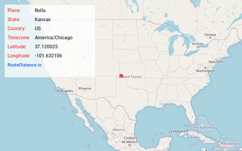
Full AddressRolla, KS 67954
-
Coordinates37.1200251, -101.6321057
-
LocationRolla , Kansas , US
-
TimezoneAmerica/Chicago
-
Current Local Time8:13:11 PM America/ChicagoTuesday, May 20, 2025
-
Page Views0
About Rolla
Rolla is a city in Morton County, Kansas, United States. As of the 2020 census, the population of the city was 384.


Nearby Places
Found 10 places within 50 miles

Hugoton
16.0 mi
25.7 km
Hugoton, KS 67951
Get directions

Elkhart
16.2 mi
26.1 km
Elkhart, KS 67950
Get directions

Hooker
29.3 mi
47.2 km
Hooker, OK 73945
Get directions

Guymon
31.3 mi
50.4 km
Guymon, OK 73942
Get directions

Johnson City
31.8 mi
51.2 km
Johnson City, KS 67855
Get directions

Tyrone
33.3 mi
53.6 km
Tyrone, OK 73951
Get directions

Ulysses
35.3 mi
56.8 km
Ulysses, KS 67880
Get directions

Goodwell
36.3 mi
58.4 km
Goodwell, OK 73939
Get directions

Liberal
39.6 mi
63.7 km
Liberal, KS 67901
Get directions
Satanta
41.7 mi
67.1 km
Satanta, KS 67870
Get directions
Location Links
Local Weather
Weather Information
Coming soon!
Location Map
Static map view of Rolla, Kansas
Browse Places by Distance
Places within specific distances from Rolla
Short Distances
Long Distances
Click any distance to see all places within that range from Rolla. Distances shown in miles (1 mile ≈ 1.61 kilometers).