Distance to Rolla, Missouri

Calculating Your Route
Just a moment while we process your request...
Location Information
-
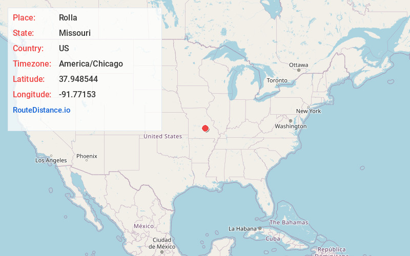
Full AddressRolla, MO
-
Coordinates37.948544, -91.7715303
-
LocationRolla , Missouri , US
-
TimezoneAmerica/Chicago
-
Current Local Time8:32:47 PM America/ChicagoTuesday, May 27, 2025
-
Website
-
Page Views0
About Rolla
Rolla is a city in and the county seat of Phelps County, Missouri, United States. Its population in the 2020 United States Census was 19,943. It is approximately midway between St. Louis and Springfield along I-44. Its micropolitan statistical area consists of Phelps County, Missouri. Nearby is an inactive township.


Location Links
Local Weather
Weather Information
Coming soon!
Location Map
Static map view of Rolla, Missouri
Browse Places by Distance
Places within specific distances from Rolla
Short Distances
Long Distances
Click any distance to see all places within that range from Rolla. Distances shown in miles (1 mile ≈ 1.61 kilometers).