Distance to Rolling Hills Estates, California

Calculating Your Route
Just a moment while we process your request...
Location Information
-
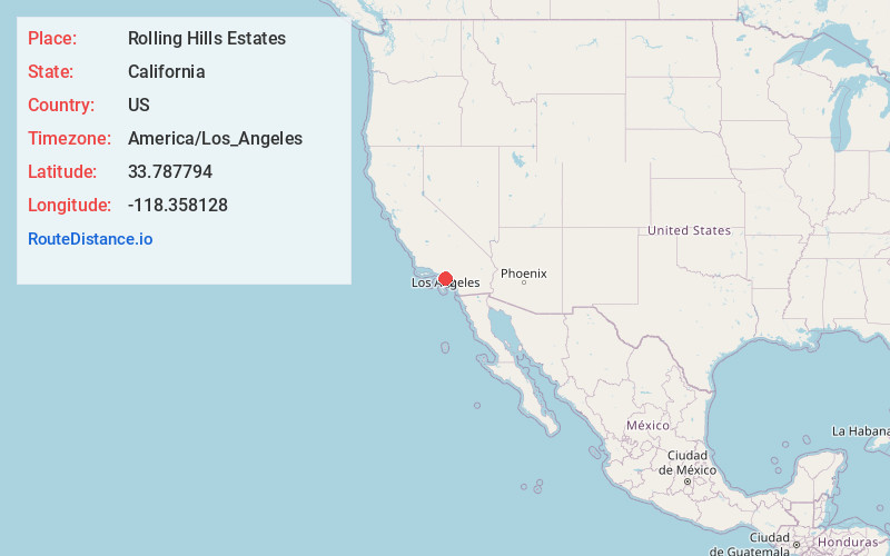
Full AddressRolling Hills Estates, CA
-
Coordinates33.7877943, -118.3581284
-
LocationRolling Hills Estates , California , US
-
TimezoneAmerica/Los_Angeles
-
Current Local Time8:11:41 PM America/Los_AngelesWednesday, June 18, 2025
-
Page Views0
About Rolling Hills Estates
Rolling Hills Estates is a city in Los Angeles County, California, United States. On the northern side of the Palos Verdes Peninsula, facing Torrance, Rolling Hills Estates is mostly residential. Incorporated in 1957, Rolling Hills Estates has many horse paths.


Nearby Places
Found 10 places within 50 miles

Lomita
2.5 mi
4.0 km
Lomita, CA
Get directions

Rancho Palos Verdes
3.4 mi
5.5 km
Rancho Palos Verdes, CA
Get directions

Torrance
3.5 mi
5.6 km
Torrance, CA
Get directions

West Carson
4.4 mi
7.1 km
West Carson, CA
Get directions

Redondo Beach
4.6 mi
7.4 km
Redondo Beach, CA
Get directions

Carson
5.3 mi
8.5 km
Carson, CA
Get directions

Hermosa Beach
5.7 mi
9.2 km
Hermosa Beach, CA
Get directions

Lawndale
6.9 mi
11.1 km
Lawndale, CA
Get directions

El Camino Village
7.2 mi
11.6 km
El Camino Village, CA
Get directions

Gardena
7.2 mi
11.6 km
Gardena, CA
Get directions
Location Links
Local Weather
Weather Information
Coming soon!
Location Map
Static map view of Rolling Hills Estates, California
Browse Places by Distance
Places within specific distances from Rolling Hills Estates
Short Distances
Long Distances
Click any distance to see all places within that range from Rolling Hills Estates. Distances shown in miles (1 mile ≈ 1.61 kilometers).