Distance to Rolling Prairie, Wisconsin

Calculating Your Route
Just a moment while we process your request...
Location Information
-
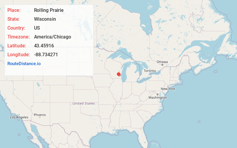
Full AddressRolling Prairie, Burnett, WI 53916
-
Coordinates43.4591601, -88.7342714
-
LocationBurnett , Wisconsin , US
-
TimezoneAmerica/Chicago
-
Current Local Time7:50:10 PM America/ChicagoFriday, June 13, 2025
-
Page Views0
About Rolling Prairie
Rolling Prairie is an unincorporated community located between the towns of Oak Grove and Burnett in Dodge County, Wisconsin, United States.
Nearby Places
Found 10 places within 50 miles

Burnett
3.4 mi
5.5 km
Burnett, WI 53922
Get directions

Juneau
4.0 mi
6.4 km
Juneau, WI 53039
Get directions

Oak Grove
5.1 mi
8.2 km
Oak Grove, WI 53039
Get directions

Beaver Dam
5.2 mi
8.4 km
Beaver Dam, WI 53916
Get directions

Horicon
5.2 mi
8.4 km
Horicon, WI 53032
Get directions
North Lowell
6.9 mi
11.1 km
North Lowell, Lowell, WI 53579
Get directions
Leipsig
7.7 mi
12.4 km
Leipsig, Beaver Dam, WI 53916
Get directions
Lowell
9.2 mi
14.8 km
Lowell, WI
Get directions

Mayville
9.8 mi
15.8 km
Mayville, WI 53050
Get directions
Kekoskee
10.0 mi
16.1 km
Kekoskee, WI
Get directions
Location Links
Local Weather
Weather Information
Coming soon!
Location Map
Static map view of Rolling Prairie, Wisconsin
Browse Places by Distance
Places within specific distances from Rolling Prairie
Short Distances
Long Distances
Click any distance to see all places within that range from Rolling Prairie. Distances shown in miles (1 mile ≈ 1.61 kilometers).