Distance to Rolling Stone, Pennsylvania

Calculating Your Route
Just a moment while we process your request...
Location Information
-
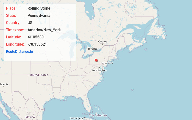
Full AddressRolling Stone, Covington Township, PA 16836
-
Coordinates41.055891, -78.1536211
-
LocationCovington Township , Pennsylvania , US
-
TimezoneAmerica/New_York
-
Current Local Time10:32:52 AM America/New_YorkMonday, June 23, 2025
-
Page Views0
Nearby Places
Found 10 places within 50 miles

Guenot Settlement
1.8 mi
2.9 km
Guenot Settlement, Covington Township, PA 16836
Get directions
Sylvan Grove
1.8 mi
2.9 km
Sylvan Grove, Cooper Township, PA 16858
Get directions
Cooper Settlement
2.9 mi
4.7 km
Cooper Settlement, Cooper Township, PA 16858
Get directions

Drifting
3.2 mi
5.1 km
Drifting, PA 16858
Get directions
Keewaydin
3.4 mi
5.5 km
Keewaydin, Covington Township, PA 16836
Get directions

Cooper Township
3.5 mi
5.6 km
Cooper Township, PA
Get directions

Palestine
4.2 mi
6.8 km
Palestine, Graham Township, PA 16858
Get directions

Grassflat
4.2 mi
6.8 km
Grassflat, PA
Get directions

Kylertown
4.4 mi
7.1 km
Kylertown, PA
Get directions

Karthaus
4.9 mi
7.9 km
Karthaus, PA 16845
Get directions
Location Links
Local Weather
Weather Information
Coming soon!
Location Map
Static map view of Rolling Stone, Pennsylvania
Browse Places by Distance
Places within specific distances from Rolling Stone
Short Distances
Long Distances
Click any distance to see all places within that range from Rolling Stone. Distances shown in miles (1 mile ≈ 1.61 kilometers).