Distance to Rollins, West Virginia

Calculating Your Route
Just a moment while we process your request...
Location Information
-
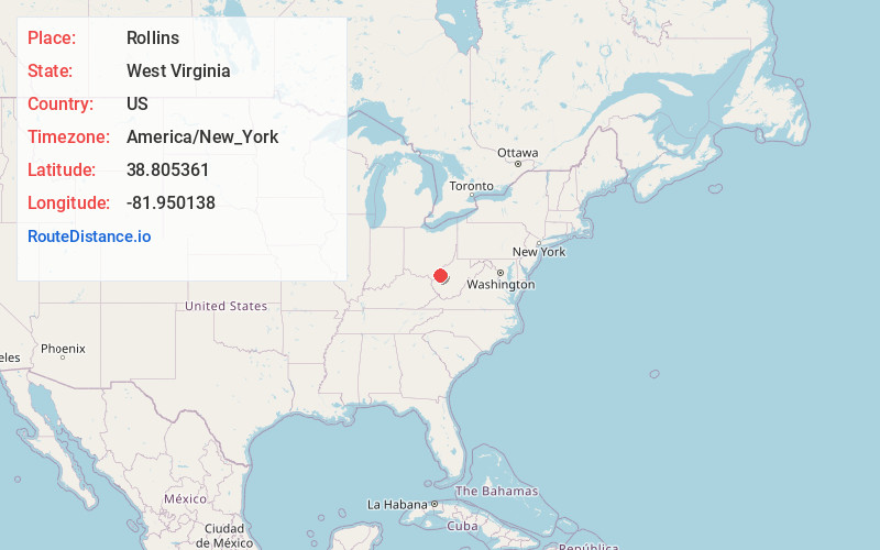
Full AddressRollins, WV 25123
-
Coordinates38.8053606, -81.9501376
-
LocationWest Virginia , US
-
TimezoneAmerica/New_York
-
Current Local Time9:17:29 AM America/New_YorkThursday, May 22, 2025
-
Page Views0
Nearby Places
Found 10 places within 50 miles

Baden
3.4 mi
5.5 km
Baden, WV 25123
Get directions
Santown
3.5 mi
5.6 km
Santown, WV 25123
Get directions
Leon
3.8 mi
6.1 km
Leon, WV 25123
Get directions
Beech Hill
4.0 mi
6.4 km
Beech Hill, WV 25187
Get directions
Greer
4.4 mi
7.1 km
Greer, WV 25550
Get directions

Flatrock
4.7 mi
7.6 km
Flatrock, WV 25123
Get directions
Gunville
4.7 mi
7.6 km
Gunville, WV 25123
Get directions
Brighton
4.9 mi
7.9 km
Brighton, WV 25550
Get directions
Waterloo
5.2 mi
8.4 km
Waterloo, WV 25123
Get directions
Ambrosia
5.5 mi
8.9 km
Ambrosia, WV 25550
Get directions
Location Links
Local Weather
Weather Information
Coming soon!
Location Map
Static map view of Rollins, West Virginia
Browse Places by Distance
Places within specific distances from Rollins
Short Distances
Long Distances
Click any distance to see all places within that range from Rollins. Distances shown in miles (1 mile ≈ 1.61 kilometers).