Distance to Romney, Texas

Calculating Your Route
Just a moment while we process your request...
Location Information
-
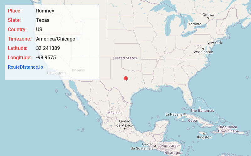
Full AddressRomney, TX 76437
-
Coordinates32.241389, -98.9575
-
LocationRomney , Texas , US
-
TimezoneAmerica/Chicago
-
Current Local Time3:27:52 AM America/ChicagoSaturday, May 31, 2025
-
Page Views0
About Romney
Romney is an unincorporated community in Eastland County in the U.S. state of Texas. Located southwest of Fort Worth, it lies between the towns of Rising Star and Cisco on Texas State Highway 183.
Nearby Places
Found 10 places within 50 miles

Carbon
7.8 mi
12.6 km
Carbon, TX 76435
Get directions

Rising Star
10.1 mi
16.3 km
Rising Star, TX 76471
Get directions

Cisco
10.2 mi
16.4 km
Cisco, TX 76437
Get directions

Chuckville
10.4 mi
16.7 km
Chuckville, TX 76471
Get directions
Atwell
10.4 mi
16.7 km
Atwell, TX 76437
Get directions

Eastland
13.8 mi
22.2 km
Eastland, TX 76448
Get directions
Sipe Springs
14.5 mi
23.3 km
Sipe Springs, TX 76442
Get directions

Cross Plains
14.5 mi
23.3 km
Cross Plains, TX 76443
Get directions
Williams
15.6 mi
25.1 km
Williams, TX 76471
Get directions

Putnam
16.4 mi
26.4 km
Putnam, TX
Get directions
Location Links
Local Weather
Weather Information
Coming soon!
Location Map
Static map view of Romney, Texas
Browse Places by Distance
Places within specific distances from Romney
Short Distances
Long Distances
Click any distance to see all places within that range from Romney. Distances shown in miles (1 mile ≈ 1.61 kilometers).