Distance to Romoland, California

Calculating Your Route
Just a moment while we process your request...
Location Information
-
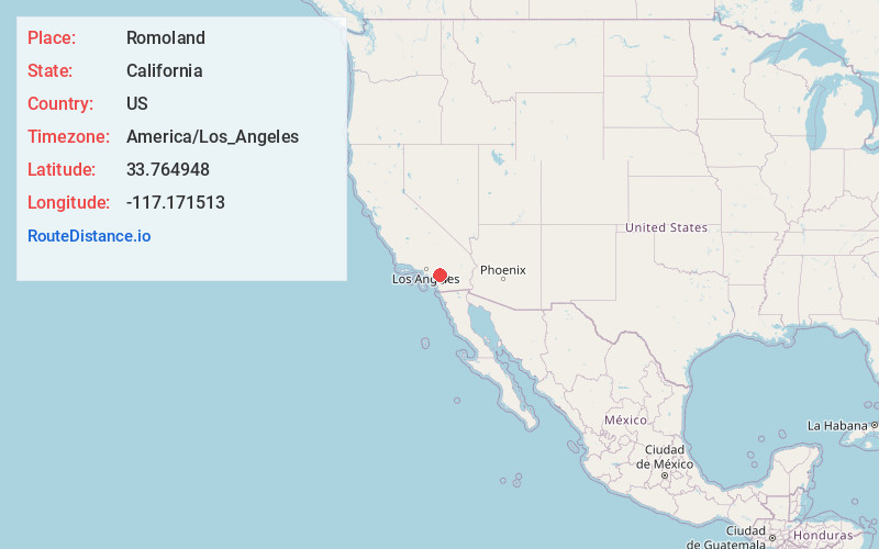
Full AddressRomoland, CA
-
Coordinates33.7649484, -117.1715128
-
LocationRomoland , California , US
-
TimezoneAmerica/Los_Angeles
-
Current Local Time10:56:22 AM America/Los_AngelesWednesday, June 25, 2025
-
Page Views0
About Romoland
Romoland is a census-designated place in Riverside County, California, United States. The population was 2,005 at the 2020 census, up from 1,684 at the 2010 census.


Nearby Places
Found 10 places within 50 miles

Nuevo
2.9 mi
4.7 km
Nuevo, CA
Get directions

Perris
3.5 mi
5.6 km
Perris, CA
Get directions

Homeland
3.9 mi
6.3 km
Homeland, CA
Get directions

Menifee
4.8 mi
7.7 km
Menifee, CA
Get directions

Winchester
6.4 mi
10.3 km
Winchester, CA
Get directions

Good Hope Mine
6.8 mi
10.9 km
Good Hope Mine, Meadowbrook, CA 92570
Get directions

Meadowbrook
7.5 mi
12.1 km
Meadowbrook, CA 92570
Get directions

Canyon Lake
8.0 mi
12.9 km
Canyon Lake, CA 92587
Get directions

Mead Valley
8.3 mi
13.4 km
Mead Valley, CA
Get directions

Lake Elsinore
11.2 mi
18.0 km
Lake Elsinore, CA
Get directions
Location Links
Local Weather
Weather Information
Coming soon!
Location Map
Static map view of Romoland, California
Browse Places by Distance
Places within specific distances from Romoland
Short Distances
Long Distances
Click any distance to see all places within that range from Romoland. Distances shown in miles (1 mile ≈ 1.61 kilometers).