Distance to Roneys Point, West Virginia

Calculating Your Route
Just a moment while we process your request...
Location Information
-
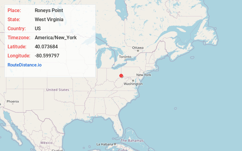
Full AddressRoneys Point, WV 26059
-
Coordinates40.0736842, -80.5997969
-
LocationWest Virginia , US
-
TimezoneAmerica/New_York
-
Current Local Time9:08:14 AM America/New_YorkMonday, June 23, 2025
-
Page Views0
About Roneys Point
Roneys Point is an unincorporated community in Ohio County, West Virginia, United States. Roneys Point is located along Little Wheeling Creek on the National Road between Point Mills and Valley Camp. It is part of the Wheeling, West Virginia Metropolitan Statistical Area.
Nearby Places
Found 10 places within 50 miles

Valley Grove
1.8 mi
2.9 km
Valley Grove, WV
Get directions

Triadelphia
2.1 mi
3.4 km
Triadelphia, WV
Get directions

Clinton
3.7 mi
6.0 km
Clinton, WV 26059
Get directions
Mt Echo
4.2 mi
6.8 km
Mt Echo, WV 26060
Get directions

Bethlehem
5.2 mi
8.4 km
Bethlehem, WV 26003
Get directions

West Alexander
5.3 mi
8.5 km
West Alexander, PA 15376
Get directions
Beham
5.9 mi
9.5 km
Beham, West Finley Township, PA 15376
Get directions

Wheeling
6.4 mi
10.3 km
Wheeling, WV 26003
Get directions
Clearview
6.6 mi
10.6 km
Clearview, WV 26003
Get directions
West Liberty
6.6 mi
10.6 km
West Liberty, WV
Get directions
Location Links
Local Weather
Weather Information
Coming soon!
Location Map
Static map view of Roneys Point, West Virginia
Browse Places by Distance
Places within specific distances from Roneys Point
Short Distances
Long Distances
Click any distance to see all places within that range from Roneys Point. Distances shown in miles (1 mile ≈ 1.61 kilometers).