Distance to Ronneby, Minnesota

Calculating Your Route
Just a moment while we process your request...
Location Information
-
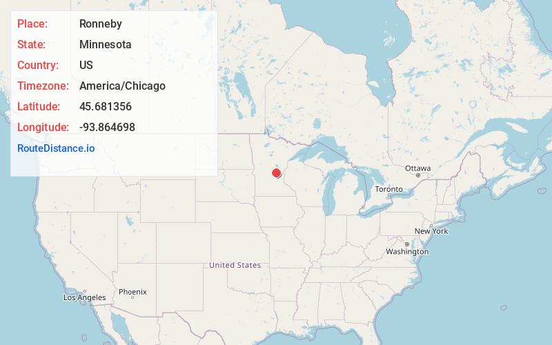
Full AddressRonneby, MN
-
Coordinates45.6813562, -93.8646983
-
LocationRonneby , Minnesota , US
-
TimezoneAmerica/Chicago
-
Current Local Time10:42:29 PM America/ChicagoThursday, June 5, 2025
-
Page Views0
About Ronneby
Ronneby is an unincorporated community and census-designated place in Maywood Township, Benton County, Minnesota, United States. As of the 2010 census, its population was 67. The community is located along State Highway 23 near Benton County Road 6.
Nearby places include Foley and Oak Park.


Nearby Places
Found 10 places within 50 miles

Foley
2.5 mi
4.0 km
Foley, MN 56329
Get directions

Gilman
5.5 mi
8.9 km
Gilman, MN 56329
Get directions
Foreston
8.2 mi
13.2 km
Foreston, MN 56330
Get directions
Pease
10.5 mi
16.9 km
Pease, MN
Get directions

Milaca
11.4 mi
18.3 km
Milaca, MN 56353
Get directions
Little Rock
15.2 mi
24.5 km
Little Rock, MN 56373
Get directions

Princeton
15.7 mi
25.3 km
Princeton, MN 55371
Get directions

Sauk Rapids
15.8 mi
25.4 km
Sauk Rapids, MN
Get directions

St Cloud
16.8 mi
27.0 km
St Cloud, MN
Get directions

Sartell
17.0 mi
27.4 km
Sartell, MN
Get directions
Location Links
Local Weather
Weather Information
Coming soon!
Location Map
Static map view of Ronneby, Minnesota
Browse Places by Distance
Places within specific distances from Ronneby
Short Distances
Long Distances
Click any distance to see all places within that range from Ronneby. Distances shown in miles (1 mile ≈ 1.61 kilometers).