Distance to Rosamond, California

Calculating Your Route
Just a moment while we process your request...
Location Information
-
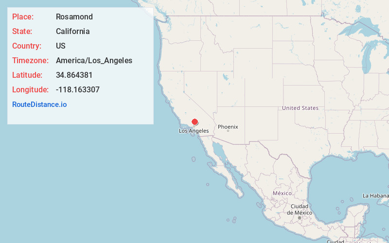
Full AddressRosamond, CA
-
Coordinates34.8643808, -118.163307
-
LocationRosamond , California , US
-
TimezoneAmerica/Los_Angeles
-
Current Local Time1:30:17 PM America/Los_AngelesFriday, May 23, 2025
-
Page Views0
About Rosamond
Rosamond is an unincorporated community in Kern County, California, US, near the Los Angeles county line. Rosamond is part of Greater Los Angeles and is located in the Mojave Desert just north of Lancaster and Palmdale, the two largest cities in the Antelope Valley.


Nearby Places
Found 9 places within 50 miles

Lancaster
11.1 mi
17.9 km
Lancaster, CA
Get directions

Palmdale
20.0 mi
32.2 km
Palmdale, CA
Get directions

Santa Clarita
39.1 mi
62.9 km
Santa Clarita, CA
Get directions

San Fernando
43.2 mi
69.5 km
San Fernando, CA
Get directions

Altadena
46.6 mi
75.0 km
Altadena, CA
Get directions

Adelanto
47.0 mi
75.6 km
Adelanto, CA
Get directions

Burbank
47.9 mi
77.1 km
Burbank, CA
Get directions

Pasadena
49.5 mi
79.7 km
Pasadena, CA
Get directions

Glendale
49.9 mi
80.3 km
Glendale, CA
Get directions
Location Links
Local Weather
Weather Information
Coming soon!
Location Map
Static map view of Rosamond, California
Browse Places by Distance
Places within specific distances from Rosamond
Short Distances
Long Distances
Click any distance to see all places within that range from Rosamond. Distances shown in miles (1 mile ≈ 1.61 kilometers).