Distance to Roscoe, South Dakota

Calculating Your Route
Just a moment while we process your request...
Location Information
-
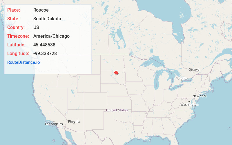
Full AddressRoscoe, SD 57471
-
Coordinates45.4485879, -99.3387279
-
LocationRoscoe , South Dakota , US
-
TimezoneAmerica/Chicago
-
Current Local Time5:02:00 AM America/ChicagoSunday, June 29, 2025
-
Page Views0
About Roscoe
Roscoe is a city in central Edmunds County, South Dakota, United States. The population was 269 at the 2020 census.
Roscoe was laid out in 1877, and named in honor of Roscoe Conkling, a United States Senator from New York.
Nearby Places
Found 10 places within 50 miles

Ipswich
15.0 mi
24.1 km
Ipswich, SD 57451
Get directions

Bowdle
15.3 mi
24.6 km
Bowdle, SD 57428
Get directions

Eureka
26.0 mi
41.8 km
Eureka, SD 57437
Get directions

Leola
27.0 mi
43.5 km
Leola, SD 57456
Get directions

Faulkton
30.4 mi
48.9 km
Faulkton, SD 57438
Get directions

Selby
33.8 mi
54.4 km
Selby, SD 57472
Get directions
Ashley
40.5 mi
65.2 km
Ashley, ND 58413
Get directions

Aberdeen
41.3 mi
66.5 km
Aberdeen, SD 57401
Get directions

Gettysburg
42.6 mi
68.6 km
Gettysburg, SD 57442
Get directions

Herreid
44.2 mi
71.1 km
Herreid, SD 57632
Get directions
Location Links
Local Weather
Weather Information
Coming soon!
Location Map
Static map view of Roscoe, South Dakota
Browse Places by Distance
Places within specific distances from Roscoe
Short Distances
Long Distances
Click any distance to see all places within that range from Roscoe. Distances shown in miles (1 mile ≈ 1.61 kilometers).