Distance to Rose Hill, Virginia

Calculating Your Route
Just a moment while we process your request...
Location Information
-
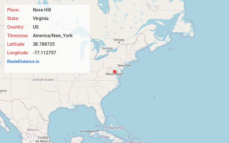
Full AddressRose Hill, VA
-
Coordinates38.7887246, -77.1127568
-
LocationRose Hill , Virginia , US
-
TimezoneAmerica/New_York
-
Current Local Time6:29:17 AM America/New_YorkTuesday, June 3, 2025
-
Page Views0
About Rose Hill
Rose Hill is a census-designated place in Fairfax County, Virginia, United States. The population was 20,226 at the 2010 census.


Nearby Places
Found 10 places within 50 miles

Cannon
0.9 mi
1.4 km
Cannon, Rose Hill, VA 22303
Get directions
Cameron Villa Farms
1.5 mi
2.4 km
Cameron Villa Farms, Kingstowne, VA 22315
Get directions
Burgundy Village
1.5 mi
2.4 km
Burgundy Village, Rose Hill, VA 22303
Get directions

Huntington
2.3 mi
3.7 km
Huntington, VA
Get directions
Lincolnia
2.6 mi
4.2 km
Lincolnia, VA
Get directions

Belle Haven
2.7 mi
4.3 km
Belle Haven, VA
Get directions
Hybla Valley
3.3 mi
5.3 km
Hybla Valley, VA
Get directions

Franconia-Springfield Metro Kiss and Ride Lot
3.3 mi
5.3 km
Franconia-Springfield Metro Kiss and Ride Lot, Springfield, VA 22150
Get directions
Marlin Forest
3.6 mi
5.8 km
Marlin Forest, Fort Hunt, VA 22307
Get directions

Alexandria
3.9 mi
6.3 km
Alexandria, VA
Get directions
Location Links
Local Weather
Weather Information
Coming soon!
Location Map
Static map view of Rose Hill, Virginia
Browse Places by Distance
Places within specific distances from Rose Hill
Short Distances
Long Distances
Click any distance to see all places within that range from Rose Hill. Distances shown in miles (1 mile ≈ 1.61 kilometers).