Distance to Rosebud, New Mexico

Calculating Your Route
Just a moment while we process your request...
Location Information
-
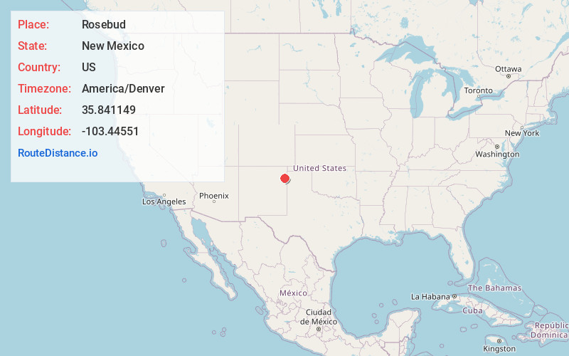
Full AddressRosebud, NM 88410
-
Coordinates35.841149, -103.44551
-
LocationNew Mexico , US
-
TimezoneAmerica/Denver
-
Current Local Time6:07:39 AM America/DenverThursday, May 29, 2025
-
Page Views0
Nearby Places
Found 7 places within 50 miles

Old Horse Pasture Well
21.3 mi
34.3 km
Old Horse Pasture Well, New Mexico 88426
Get directions

Nara Visa
25.3 mi
40.7 km
Nara Visa, NM 88430
Get directions

Mosquero
29.0 mi
46.7 km
Mosquero, NM 87733
Get directions

Roy
42.6 mi
68.6 km
Roy, NM 87743
Get directions

Texline
43.9 mi
70.7 km
Texline, TX 79087
Get directions

Clayton
44.6 mi
71.8 km
Clayton, NM 88415
Get directions

Tucumcari
48.9 mi
78.7 km
Tucumcari, NM 88401
Get directions
Location Links
Local Weather
Weather Information
Coming soon!
Location Map
Static map view of Rosebud, New Mexico
Browse Places by Distance
Places within specific distances from Rosebud
Short Distances
Long Distances
Click any distance to see all places within that range from Rosebud. Distances shown in miles (1 mile ≈ 1.61 kilometers).